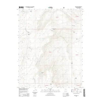
2014 Map of Dog Point
USGS Topo · Published 2014About this map
Kaibab National Forest dominates this high-altitude landscape in Coconino County, where the plateau is deeply incised by a network of drainage systems. The Arizona National Scenic Trail winds through the western portion of the terrain, passing landmarks such as Dog Lake and the water source at Crystal Spring. This area is characterized by dramatic geological formations, including the Cocks Combs and the Marble Sinkhole, highlighting the unique karst and erosional features of the Arizona uplands. Water management in this arid environment is evident through several named catchments like Mackelprang Tank and Dog Canyon Tank, which support the local ecosystem. High ridges such as Cane Ridge and Tater Ridge overlook deep incisions like Wildcat Canyon and Fence Canyon, providing a detailed look at the topographic complexity of the Dog Point vicinity during the early twenty-first century.
Find a feature on this map
29 named features on this map. Tap any name to fly to it.
Don’t see what you’re looking for? This feature index may not catch every label — zoom into the map to look around manually.
Map Details
Editions of this 2014 Dog Point Map
This is the sole edition of this map. No revisions or reprints were ever made.
Other maps of this area

1886 · Echo Cliffs
USGS Topo · 1:250,000

1886 · Kaibab
USGS Topo · 1:250,000

1891 · Echo Cliffs
USGS Topo · 1:250,000

1936 · Jacobs Lake
USGS Topo · 1:48,000

1940 · Jacob Lake
USGS Topo · 1:62,500

1953 · Jacobs Lake
USGS Topo · 1:62,500

1953 · Grand Canyon
USGS Topo · 1:250,000

1954 · Nankoweap
USGS Topo · 1:62,500

1954 · Emmett Wash
USGS Topo · 1:62,500

1956 · Marble Canyon
USGS Topo · 1:250,000