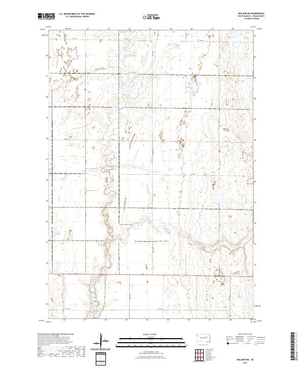
2021 Map of Doland NW
USGS Topo · Published 2021About this map
Timber Creek meanders through this portion of Spink County, defining the drainage patterns of a landscape deeply organized by the Public Land Survey System. The map illustrates a highly structured agricultural environment, where township boundaries like t117n r61w and t118n r62w dictate the layout of the rural road network. This grid is maintained by a series of numbered routes, including Co Rd 7, Co Rd 5, and 165th St, which serve the isolated farmsteads scattered across the plains. The presence of numerous small wetlands and depressions adjacent to Timber Cr suggests the prairie pothole character of the region, reflecting the natural hydrology that persists alongside straightened section-line roads such as 403rd Ave and 399th Ave.
Find a feature on this map
20 named features on this map. Tap any name to fly to it.
Don’t see what you’re looking for? This feature index may not catch every label — zoom into the map to look around manually.
Map Details
Editions of this 2021 Doland NW Map
This is the sole edition of this map. No revisions or reprints were ever made.
Other maps of this area

1894 · Conde
USGS Topo · 1:62,500

1895 · Byron
USGS Topo · 1:125,000

1895 · Aberdeen
USGS Topo · 1:125,000

1953 · Frankfort
USGS Topo · 1:24,000

1953 · Huron
USGS Topo · 1:250,000

1954 · Aberdeen
USGS Topo · 1:250,000

1954 · Huron
USGS Topo · 1:250,000

1956 · Aberdeen
USGS Topo · 1:250,000

1956 · Glendale Colony
USGS Topo · 1:24,000

1956 · Doland SW
USGS Topo · 1:24,000
Featured Places
- Harmony Township, SD
- Belle Plaine Township, SD
- Frankfort Township, SD
- Prairie Center Township, SD
- Sumner Township, SD