2021 Map of Doland
USGS Topo · Published 2021About this map
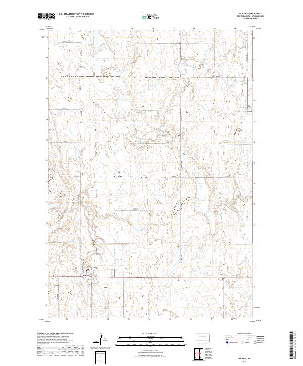
Doland serves as the focal point of this agricultural landscape in Spink County, situated along the southern edge of the survey. The town's grid is clearly defined by local streets such as Montana St and 2nd St, with the highway corridor of 212 providing the primary east-west artery through the community. Just north of the town center lies Doland Cem, a significant site for genealogists and local historians tracking early settlement in the region. The surrounding prairie is methodically partitioned into sections and townships, including t117n r61w and t117n r60w, navigated by a rigid network of section-line roads like 408th Ave and 169th St. The map illustrates the characteristic homestead pattern of the Great Plains, where scattered wetlands and small ponds interrupt the straight lines of the rural road system.
Find a feature on this map
28 named features on this map. Tap any name to fly to it.
Don’t see what you’re looking for? This feature index may not catch every label — zoom into the map to look around manually.
Map Details
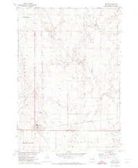
Editions of this 2021 Doland Map
This is the sole edition of this map. No revisions or reprints were ever made.
Historical Maps of Turton Township Through Time
Featured Locations
- Belle Plaine Township, SD
- Turton Township, SD
- Doland, SD
- Prairie Center Township, SD
- Sumner Township, SD