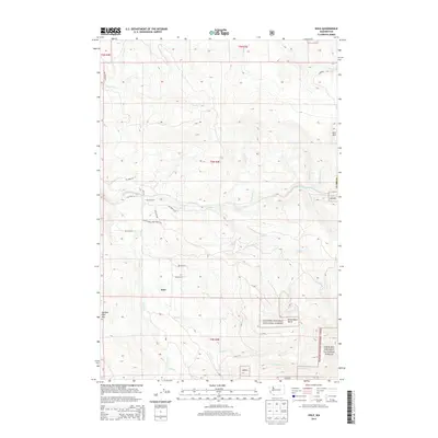
2014 Map of Dole
USGS Topo · Published 2014About this map
Dole sits at the heart of this landscape in eastern Clark County, where the transition from managed forest land to the protected wilderness of the Gifford Pinchot National Forest is clearly visible. The drainage of the East Fork Lewis River carves through the terrain, joined by numerous tributaries including Rock Cr and Cedar Cr. Elevation is defined by prominent peaks like Jack Mtn, Spotted Deer Mtn, and the distinctive Kloochman Butte, which overlook a network of logging and forest service routes.
Find a feature on this map
39 named features on this map. Tap any name to fly to it.
Don’t see what you’re looking for? This feature index may not catch every label — zoom into the map to look around manually.
Map Details
Editions of this 2014 Dole Map
This is the sole edition of this map. No revisions or reprints were ever made.
Other maps of this area

1918 · Troutdale
USGS Topo · 1:62,500

1934 · Troutdale
USGS Topo · 1:48,000

1940 · Lookout Mtn
USGS Topo · 1:62,500

1941 · Yacolt
USGS Topo · 1:62,500

1941 · Camas
USGS Topo · 1:62,500

1942 · Camas
USGS Topo · 1:62,500

1948 · Vancouver
USGS Topo · 1:250,000

1950 · Vancouver
USGS Topo · 1:250,000

1950 · Vancouver
USGS Topo · 1:250,000

1953 · Lookout Mtn
USGS Topo · 1:62,500