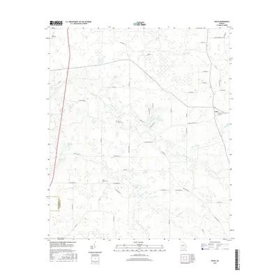
2017 Map of Doles
USGS Topo · Published 2017About this map
Doles serves as the primary community anchor in this rural agricultural landscape near the border of Dougherty Co and Worth Co. The area is characterized by an intricate network of waterways and wetlands, notably the large Mercer Millpond and several significant drainages including Abrams Cr and Little Abrams Cr. Local history is preserved in several small burial grounds such as Mount Horeb Cem, Pinder Town Cem, and Saint James Cem, which are tucked away from the main thoroughfares.
Find a feature on this map
48 named features on this map. Tap any name to fly to it.
Don’t see what you’re looking for? This feature index may not catch every label — zoom into the map to look around manually.
Map Details
Editions of this 2017 Doles Map
This is the sole edition of this map. No revisions or reprints were ever made.
Other maps of this area

1953 · Dothan
USGS Topo · 1:250,000

1953 · Waycross
USGS Topo · 1:250,000

1954 · Dothan
USGS Topo · 1:250,000

1955 · Dothan
USGS Topo · 1:250,000

1956 · Albany East
USGS Topo · 1:24,000

1956 · Sylvester
USGS Topo · 1:62,500

1956 · Albany
USGS Topo · 1:62,500

1956 · Leslie
USGS Topo · 1:62,500

1958 · Waycross
USGS Topo · 1:250,000

1972 · Cuffietown
USGS Topo · 1:24,000