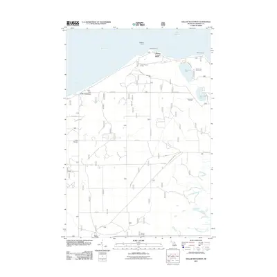
2011 Map of Dollar Settlement
USGS Topo · Published 2011About this map
Whitefish Bay and the northern shores of the Upper Peninsula define this coastal landscape, where the waters of Lake Superior meet the rugged terrain of Chippewa County. The settlement of Dollar Settlement anchors the western shoreline along Pendills Bay, while the high ground of Mission Hill provides a vantage point over the inland Monocle Lake. This area is marked by its recreational and maritime identity, featuring the Iroquois Mountain Ski Area and the Point Iroquois lighthouse site at the edge of Nadoway Point.
Find a feature on this map
34 named features on this map. Tap any name to fly to it.
Don’t see what you’re looking for? This feature index may not catch every label — zoom into the map to look around manually.
Map Details
Editions of this 2011 Dollar Settlement Map
This is the sole edition of this map. No revisions or reprints were ever made.
Other maps of this area

1941 · Strongs
USGS Topo · 1:63,360

1941 · Brimley
USGS Topo · 1:63,360

1951 · Pendills Lake
USGS Topo · 1:24,000

1951 · Dollar Settlement
USGS Topo · 1:24,000

1951 · Sullivan Creek
USGS Topo · 1:24,000

1951 · Raco
USGS Topo · 1:24,000

1951 · Kinross
USGS Topo · 1:24,000

1951 · Brimley
USGS Topo · 1:62,500

1951 · Strongs
USGS Topo · 1:62,500

1951 · Brimley
USGS Topo · 1:24,000