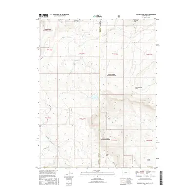
2016 Map of Dolores Point South
USGS Topo · Published 2016About this map
Dolores Point and the high plateaus along the Colorado-Utah state line dominate this 2016 survey, where the Manti-Lasal National Forest covers much of the high-elevation terrain. The landscape is defined by deep incisions such as John Brown Canyon and North Cottonwood Canyon, which drain the massive S Beaver Mesa and Pine Ridge formations. In the southeastern portion of the map, the unique geological depression of Sinbad Valley is framed by the prominent Sinbad Ridge, illustrating the complex salt tectonics of the region.
Find a feature on this map
31 named features on this map. Tap any name to fly to it.
Don’t see what you’re looking for? This feature index may not catch every label — zoom into the map to look around manually.
Map Details
Editions of this 2016 Dolores Point South Map
This is the sole edition of this map. No revisions or reprints were ever made.
Other maps of this area

1885 · La Sal
USGS Topo · 1:250,000

1916 · Paradox Valley
USGS Topo · 1:125,000

1922 · Paradox Valley
USGS Topo · 1:125,000

1948 · Roc Creek
USGS Topo · 1:24,000

1949 · Roc Creek
USGS Topo · 1:24,000

1949 · Juanita Arch
USGS Topo · 1:24,000

1949 · Gateway
USGS Topo · 1:24,000

1950 · Juanita Arch
USGS Topo · 1:24,000

1952 · Gateway
USGS Topo · 1:24,000

1954 · Mt Peale 1 NE
USGS Topo · 1:24,000