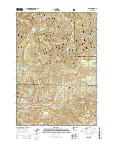
2014 Map of Dolph
USGS Topo · Published 2014About this map
Siuslaw National Forest dominates this section of the Oregon Coast Range, where deep drainage systems carve through the timberlands of Yamhill, Tillamook, and Lincoln counties. The Salmon River and the Little Nestucca River serve as the primary hydrologic arteries, fed by a dense network of tributaries including the Treat River and Sulphur Cr. The community of Rose Lodge sits along the Salmon River Hwy, marking a point of human settlement amidst the sprawling forest.
Find a feature on this map
62 named features on this map. Tap any name to fly to it.
Don’t see what you’re looking for? This feature index may not catch every label — zoom into the map to look around manually.
Map Details
Editions of this 2014 Dolph Map
This is the sole edition of this map. No revisions or reprints were ever made.
Other maps of this area

1941 · Nestucca Bay
USGS Topo · 1:62,500

1942 · Euchre Mtn
USGS Topo · 1:62,500

1942 · Spirit Mtn
USGS Topo · 1:62,500

1942 · Nestucca Bay
USGS Topo · 1:62,500

1942 · Valsetz
USGS Topo · 1:62,500

1943 · Euchre Mtn
USGS Topo · 1:62,500

1948 · Vancouver
USGS Topo · 1:250,000

1950 · Vancouver
USGS Topo · 1:250,000

1950 · Vancouver
USGS Topo · 1:250,000

1953 · Salem
USGS Topo · 1:250,000