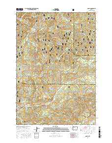
2017 Map of Dolph
USGS Topo · Published 2017About this map
The Siuslaw National Forest dominates the terrain of this Coast Range quadrangle, where the headwaters of the Little Nestucca River and the Salmon River carve deep drainages through the timberland. Historically significant routes like the Hebo Rd and the Van Duzer Forest Way-Side follow these natural corridors, connecting the interior mountains to the Oregon coast. The settlement of Dolph sits at a junction in the north, while Rose Lodge is positioned along the southern river valley near Slick Rock Cr. Local landmarks such as Gunaldo Falls and Saddle Bag Mtn punctuate the heavily forested landscape. The map also detail numerous forest development roads and bridges, including Weed Bridge and Muscott Bridge, which provide access to the various ridges and creeks such as Neskowin Ridge and Sourgrass Cr.
Find a feature on this map
62 named features on this map. Tap any name to fly to it.
Don’t see what you’re looking for? This feature index may not catch every label — zoom into the map to look around manually.
Map Details
Editions of this 2017 Dolph Map
This is the sole edition of this map. No revisions or reprints were ever made.
Other maps of this area

1941 · Nestucca Bay
USGS Topo · 1:62,500

1942 · Euchre Mtn
USGS Topo · 1:62,500

1942 · Spirit Mtn
USGS Topo · 1:62,500

1942 · Nestucca Bay
USGS Topo · 1:62,500

1942 · Valsetz
USGS Topo · 1:62,500

1943 · Euchre Mtn
USGS Topo · 1:62,500

1948 · Vancouver
USGS Topo · 1:250,000

1950 · Vancouver
USGS Topo · 1:250,000

1950 · Vancouver
USGS Topo · 1:250,000

1953 · Salem
USGS Topo · 1:250,000