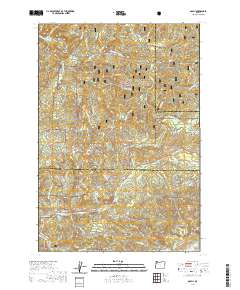
2020 Map of Dolph
USGS Topo · Published 2020About this map
The mountain settlement of Dolph sits at the northern edge of this Oregon coastal range landscape, where the Little Nestucca River and its numerous tributaries like McKnight Cr and Baxter Cr carve through the timberlands. Much of the region is defined by the Siuslaw National Forest, a managed woodland that includes the Van Duzer Forest Wayside corridor. This topography illustrates the intricate drainage systems flowing toward the Pacific, characterized by sharp ridges like Neskowin Ridge and prominent peaks such as Saddle Bag Mtn. To the south, the Salmon River and its many branches, including the W Fork Salmon River, dominate the hydrology. Notable local landmarks like Gunaldo Falls and several small spans, including Weed Bridge and Muscott Bridge, mark the early infrastructure used to navigate this heavily wooded and steep terrain.
Find a feature on this map
54 named features on this map. Tap any name to fly to it.
Don’t see what you’re looking for? This feature index may not catch every label — zoom into the map to look around manually.
Map Details
Editions of this 2020 Dolph Map
This is the sole edition of this map. No revisions or reprints were ever made.
Other maps of this area

1941 · Nestucca Bay
USGS Topo · 1:62,500

1942 · Euchre Mtn
USGS Topo · 1:62,500

1942 · Spirit Mtn
USGS Topo · 1:62,500

1942 · Nestucca Bay
USGS Topo · 1:62,500

1942 · Valsetz
USGS Topo · 1:62,500

1943 · Euchre Mtn
USGS Topo · 1:62,500

1948 · Vancouver
USGS Topo · 1:250,000

1950 · Vancouver
USGS Topo · 1:250,000

1950 · Vancouver
USGS Topo · 1:250,000

1953 · Salem
USGS Topo · 1:250,000