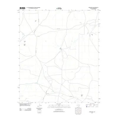
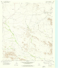
2012 Map of Dome Hill
USGS Topo · Published 2012About this map
Jones Ranch and Delaware Ranch anchor this arid Trans-Pecos landscape, where survival depends on a network of carefully placed water sources. The map details the ranching infrastructure of Culberson County, including numerous tanks and windmills like Schilling Windmill and the uniquely named Mutt and Jeff Windmills. These features are vital in a terrain defined by broad washes such as Luckett Draw and Bronco Mule Draw.
Find a feature on this map
19 named features on this map. Tap any name to fly to it.
Don’t see what you’re looking for? This feature index may not catch every label — zoom into the map to look around manually.
Map Details
Editions of this 2012 Dome Hill Map
This is the sole edition of this map. No revisions or reprints were ever made.
Other maps of this area

1906 · Van Horn
USGS Topo · 1:125,000

1928 · Kent
USGS Topo · 1:125,000

1954 · Van Horn
USGS Topo · 1:250,000

1958 · Van Horn
USGS Topo · 1:250,000
1964 · Goat Canyon
USGS Topo · 1:24,000
1970 · East Hunter Canyon
USGS Topo · 1:24,000
1970 · Panther Canyon
USGS Topo · 1:24,000

1972 · Seven Heart Gap
USGS Topo · 1:24,000

1973 · Dellahunt Draw West
USGS Topo · 1:24,000
1973 · Dome Hill
USGS Topo · 1:24,000