
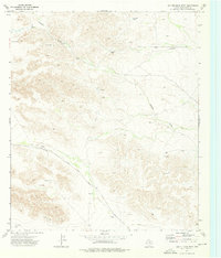
1973 Map of Dellahunt Draw West
USGS Topo · Published 1975About this map
Cottonwood Creek and Dellahunt Draw cross this arid expanse of Culberson County during the early 1970s, a landscape defined by ranching infrastructure and mineral exploration. Water management is critical in this environment, as evidenced by a network of named livestock tanks including Frosty Tank, West Humphrey Tank, and Fence Line Tank. These features, along with several named windmills like Crow Windmill and Digger Windmill, reveal the reliance on subterranean water sources for the cattle industry in West Texas.
Find a feature on this map
18 named features on this map. Tap any name to fly to it.
Don’t see what you’re looking for? This feature index may not catch every label — zoom into the map to look around manually.
Map Details
Editions of this 1973 Dellahunt Draw West Map
This is the sole edition of this map. No revisions or reprints were ever made.
Other maps of this area

1928 · Kent
USGS Topo · 1:125,000

1954 · Van Horn
USGS Topo · 1:250,000

1958 · Van Horn
USGS Topo · 1:250,000

1973 · Two Mill Draw West
USGS Topo · 1:24,000

1973 · K C Ranch
USGS Topo · 1:24,000
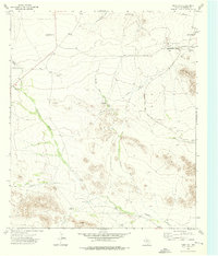
1973 · Dome Hill
USGS Topo · 1:24,000
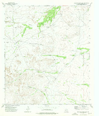
1973 · Dellahunt Draw East
USGS Topo · 1:24,000
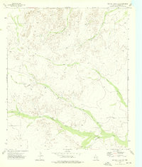
1973 · Two Mill Draw East
USGS Topo · 1:24,000
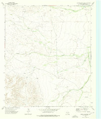
1973 · Hopper Draw East
USGS Topo · 1:24,000
1973 · Hopper Draw West
USGS Topo · 1:24,000