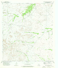
1973 Map of Dellahunt Draw East
USGS Topo · Published 1976About this map
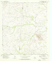
Water management dominates this arid landscape in Culberson County, where a network of windmills and tanks supported ranching operations in the early 1970s. The terrain is defined by broad drainage systems including Dellahunt Draw, China Draw, and Hart Draw, which funnel seasonal runoff toward named features like Cottonwood Creek. The reliance on groundwater is evident through numerous installations such as the Grisham Pumping Sta, Mc Cutcheon Windmill, and Little Sulphur Windmills.
Find a feature on this map
24 named features on this map. Tap any name to fly to it.
Don’t see what you’re looking for? This feature index may not catch every label — zoom into the map to look around manually.
Map Details
Editions of this 1973 Dellahunt Draw East Map
This is the sole edition of this map. No revisions or reprints were ever made.
Other maps of this area

1928 · Kent
USGS Topo · 1:125,000

1954 · Van Horn
USGS Topo · 1:250,000

1958 · Van Horn
USGS Topo · 1:250,000

1973 · Dellahunt Draw West
USGS Topo · 1:24,000

1973 · Two Mill Draw West
USGS Topo · 1:24,000
1973 · Burnt Spring Hills SE
USGS Topo · 1:24,000
1973 · Dry Lake
USGS Topo · 1:24,000
1973 · Two Mill Draw East
USGS Topo · 1:24,000
1973 · Burnt Spring Hills
USGS Topo · 1:24,000
1973 · Hopper Draw East
USGS Topo · 1:24,000