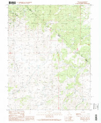
1989 Map of Dome Hill
USGS Topo · Published 1989About this map
The Masonic (Site) mining district anchors the northwestern corner of this study, positioned near the border between Nevada and California. This high-altitude landscape in the Bodie Hills is marked by a dense concentration of late-century mineral extraction sites, including the Pittsburg Liberty Mine, Maybell Mine, and Mellon Mine. The terrain is defined by dry washes like Red Wash and high points such as Burnt Hill and New York Hill, where numerous adits and mine dumps signify decades of prospecting.
Find a feature on this map
28 named features on this map. Tap any name to fly to it.
Don’t see what you’re looking for? This feature index may not catch every label — zoom into the map to look around manually.
Map Details
Editions of this 1989 Dome Hill Map
2 editions found
Other maps of this area

1909 · Hawthorne
USGS Topo · 1:250,000

1909 · Bridgeport
USGS Topo · 1:125,000

1911 · Bridgeport
USGS Topo · 1:125,000

1911 · Hawthorne
USGS Topo · 1:250,000

1915 · Hawthorne
USGS Topo · 1:250,000

1920 · Bridgeport
USGS Topo · 1:125,000

1948 · Walker Lake
USGS Topo · 1:250,000

1956 · Aurora
USGS Topo · 1:62,500

1957 · Walker Lake
USGS Topo · 1:250,000

1958 · Bodie
USGS Topo · 1:62,500