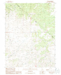
1989 Map of Dome Hill
USGS Topo · Published 1989About this map
The high desert mining landscape of the Bodie Hills is captured here in the late twentieth century, centered on the historic district of Masonic. This area, situated along the California-Nevada border, is marked by a high density of early prospecting sites and shafts. Notable operations such as the Maybell Mine, Mellon Mine, and the Pittsburg Liberty Mine are scattered across the slopes of New York Hill and the surrounding terrain.
Find a feature on this map
20 named features on this map. Tap any name to fly to it.
Don’t see what you’re looking for? This feature index may not catch every label — zoom into the map to look around manually.
Map Details
Editions of this 1989 Dome Hill Map
2 editions found
Other maps of this area

1909 · Hawthorne
USGS Topo · 1:250,000

1909 · Bridgeport
USGS Topo · 1:125,000

1911 · Bridgeport
USGS Topo · 1:125,000

1911 · Hawthorne
USGS Topo · 1:250,000

1915 · Hawthorne
USGS Topo · 1:250,000

1920 · Bridgeport
USGS Topo · 1:125,000

1948 · Walker Lake
USGS Topo · 1:250,000

1956 · Aurora
USGS Topo · 1:62,500

1957 · Walker Lake
USGS Topo · 1:250,000

1958 · Bodie
USGS Topo · 1:62,500