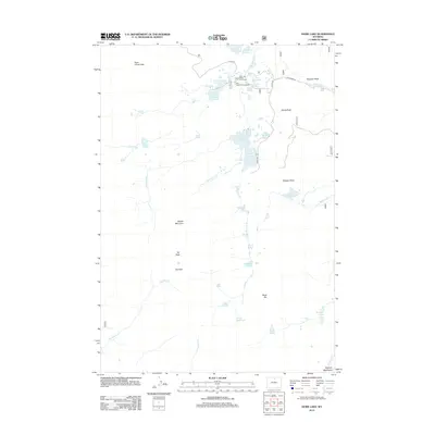
2012 Map of Dome Lake
USGS Topo · Published 2012About this map
Dome Lake Reservoir and the surrounding high-elevation waters of the Bighorn Mountains dominate this 2012 survey. The landscape is defined by a dense concentration of glacial lakes and managed water resources, including Sawmill Reservoir, Weston Reservoir, and the numerically designated Dome Lake Number 1. Recreational infrastructure is centered around the Twin Lakes Campground and Twin Lakes Picnic Area, which serve as hubs for accessing the diverse waterways such as Lake Fontanallis and Lake Dunchi. Significant topographic landmarks like Saddle Mountain, Elk Peak, and Rock Chuck Pass provide a clear view of the complex terrain, while features like Preacher Rock and Black Rib offer specific points of interest for navigation. The drainage network is anchored by W Fork Big Goose Cr, which ties together several smaller basins like Crescent Lake and Heart Lake.
Find a feature on this map
44 named features on this map. Tap any name to fly to it.
Don’t see what you’re looking for? This feature index may not catch every label — zoom into the map to look around manually.
Map Details
Editions of this 2012 Dome Lake Map
This is the sole edition of this map. No revisions or reprints were ever made.
Other maps of this area

1895 · Dayton
USGS Topo · 1:125,000

1899 · Cloud peak
USGS Topo · 1:125,000

1901 · Cloud Peak
USGS Topo · 1:125,000

1901 · Dayton
USGS Topo · 1:125,000

1955 · Sheridan
USGS Topo · 1:250,000

1958 · Sheridan
USGS Topo · 1:250,000

1960 · Shell Lake
USGS Topo · 1:24,000

1960 · Spanish Point
USGS Topo · 1:24,000

1962 · Sheridan
USGS Topo · 1:250,000

1964 · Walker Mountain
USGS Topo · 1:24,000