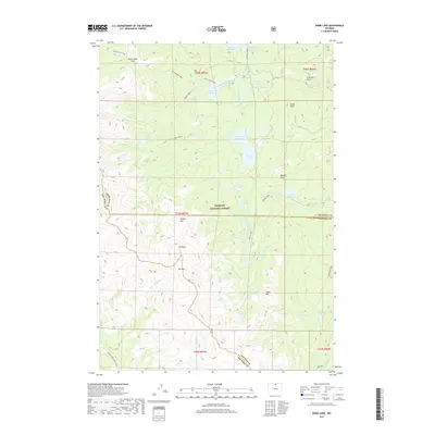
2017 Map of Dome Lake
USGS Topo · Published 2017About this map
Bighorn National Forest dominates this high-altitude landscape where the headwaters of numerous creeks begin their descent. The area is defined by a complex network of alpine lakes and reservoirs, including Dome Lake Reservoir, Sawmill Reservoir, and Weston Reservoir, reflecting early water management efforts in the region. Notable terrain features like Saddle Mtn, Elk Peak, and the prominent Dome Rock provide orientation for travelers crossing Rock Chuck Pass or Elk Pass. For those moving through the backcountry, the Shell Lakes High Trail offers a historical route across the southern portion of the sheet. The density of named water bodies, from Lake Fontanalis to Geddes Lake, highlights a geography shaped by glacial activity and sustained by seasonal snowpack within the Sheridan and Johnson county borders.
Find a feature on this map
54 named features on this map. Tap any name to fly to it.
Don’t see what you’re looking for? This feature index may not catch every label — zoom into the map to look around manually.
Map Details
Editions of this 2017 Dome Lake Map
This is the sole edition of this map. No revisions or reprints were ever made.
Other maps of this area

1895 · Dayton
USGS Topo · 1:125,000

1899 · Cloud peak
USGS Topo · 1:125,000

1901 · Cloud Peak
USGS Topo · 1:125,000

1901 · Dayton
USGS Topo · 1:125,000

1955 · Sheridan
USGS Topo · 1:250,000

1958 · Sheridan
USGS Topo · 1:250,000

1960 · Shell Lake
USGS Topo · 1:24,000

1960 · Spanish Point
USGS Topo · 1:24,000

1962 · Sheridan
USGS Topo · 1:250,000

1964 · Walker Mountain
USGS Topo · 1:24,000