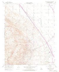
1956 Map of Domengine Ranch
USGS Topo · Published 1972About this map
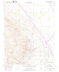
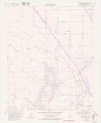
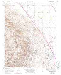
The Big Blue Hills define the western landscape of this Fresno County region, where the steep terrain of Ragged Valley and Sulphur Flat meets the industrial reach of the California oil industry. By the mid-1950s, the East Coalinga Extension Oil Field and the Coalinga Anticline Ridge were established hubs of extraction, marked by a dense network of pipelines and pumping infrastructure like the Mack Pumping Sta. This 1971 revision documents the introduction of the California Aqueduct, which cuts diagonally across the valley floor, contrasting the newer water infrastructure with the established ranching life at Domengine Ranch and Jordan Ranch. The map captures a specific moment when agricultural operations such as Sunset Farms operated alongside the massive engineering projects designed to move water and oil across the San Joaquin Valley.
Find a feature on this map
31 named features on this map. Tap any name to fly to it.
Don’t see what you’re looking for? This feature index may not catch every label — zoom into the map to look around manually.
Map Details
Editions of this 1956 Domengine Ranch Map
7 editions found
Other maps of this area

1912 · Coalinga
USGS Topo · 1:125,000

1928 · Delta Farms No 3
USGS Topo · 1:31,680

1931 · Towne Oil Station
USGS Topo · 1:31,680

1931 · Mouth of Cantua Creek
USGS Topo · 1:31,680

1932 · Delta Farms
USGS Topo · 1:31,680

1933 · Guijarral Hills
USGS Topo · 1:31,680
1936 · Guijarral Hills
USGS Topo · 1:31,680
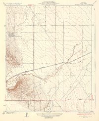
1937 · Guijarral Hills
USGS Topo · 1:31,680
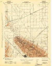
1942 · Polvadero Gap
USGS Topo · 1:62,500

1943 · Joaquin Rocks
USGS Topo · 1:62,500