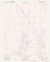
1956 Map of Domengine Ranch
USGS Topo · Published 1980About this map
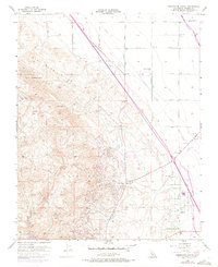
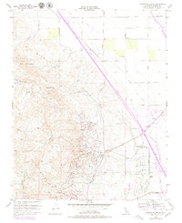
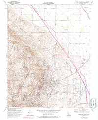
The industrial and agricultural footprint of the western San Joaquin Valley is clearly defined on this 1956 map, revised in 1979. The expansive Coalinga Oil Field and the East Extension Oil Field dominate the southern half of the quadrangle, where a dense network of pipelines and storage infrastructure clusters around Oil City and the Mack Pumping Sta. This oil-rich landscape is anchored by the geological formation of Anticline Ridge, which rises above the valley floor to meet the Big Blue Hills.
Find a feature on this map
23 named features on this map. Tap any name to fly to it.
Don’t see what you’re looking for? This feature index may not catch every label — zoom into the map to look around manually.
Map Details
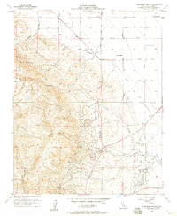
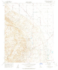
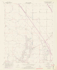
Editions of this 1956 Domengine Ranch Map
7 editions found
Other maps of this area

1912 · Coalinga
USGS Topo · 1:125,000

1928 · Delta Farms No 3
USGS Topo · 1:31,680

1931 · Towne Oil Station
USGS Topo · 1:31,680

1931 · Mouth of Cantua Creek
USGS Topo · 1:31,680

1932 · Delta Farms
USGS Topo · 1:31,680

1933 · Guijarral Hills
USGS Topo · 1:31,680
1936 · Guijarral Hills
USGS Topo · 1:31,680
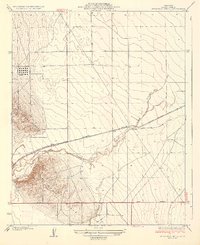
1937 · Guijarral Hills
USGS Topo · 1:31,680
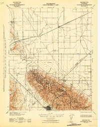
1942 · Polvadero Gap
USGS Topo · 1:62,500

1943 · Joaquin Rocks
USGS Topo · 1:62,500