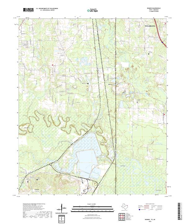
2022 Map of Domino
USGS Topo · Published 2022About this map
The Sulphur River carves a complex, winding path through this corner of East Texas and Southwest Arkansas, defining the boundary between Bowie Co and Cass Co. The river's floodplain is a labyrinth of backwaters and seasonal wetlands, including Long Slough, Baker Slough, and Mathis Slough. These interconnected waterways, alongside larger bodies like Alligator Lake and Snaggy Lake, illustrate a landscape heavily shaped by fluvial dynamics and the low-lying terrain of the Gulf Coastal Plain.
Find a feature on this map
117 named features on this map. Tap any name to fly to it.
Don’t see what you’re looking for? This feature index may not catch every label — zoom into the map to look around manually.
Map Details
Editions of this 2022 Domino Map
This is the sole edition of this map. No revisions or reprints were ever made.
Other maps of this area

1907 · Atlanta
USGS Topo · 1:62,500

1909 · Texarkana
USGS Topo · 1:62,500

1910 · Atlanta
USGS Topo · 1:62,500

1952 · Mandeville
USGS Topo · 1:24,000

1952 · Doddridge NW
USGS Topo · 1:24,000

1952 · Fouke
USGS Topo · 1:24,000

1953 · Texarkana
USGS Topo · 1:250,000

1953 · El Dorado
USGS Topo · 1:250,000

1954 · Texarkana
USGS Topo · 1:24,000

1954 · Domino
USGS Topo · 1:24,000