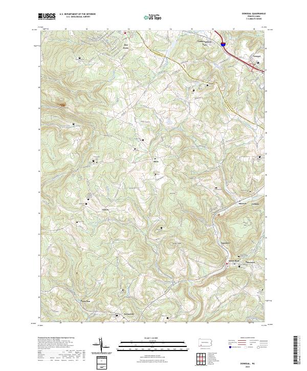
2023 Map of Donegal
USGS Topo · Published 2023About this map
Indian Creek carves a deep path through the highlands where Westmoreland and Fayette counties meet, shaping the settlement patterns of the Laurel Highlands. The landscape is defined by the legacy of small family burial grounds and community landmarks, such as the Sweitzer Huzak Family Cem and the Knopsnider Cem - Old. The valley floor facilitates the Indian Creek Valley Trl, following the water past established communities like Melcroft, Indian Head, and Normalville.
Find a feature on this map
59 named features on this map. Tap any name to fly to it.
Don’t see what you’re looking for? This feature index may not catch every label — zoom into the map to look around manually.
Map Details
Editions of this 2023 Donegal Map
This is the sole edition of this map. No revisions or reprints were ever made.
Other maps of this area

1900 · Uniontown
USGS Topo · 1:62,500

1902 · Connellsville
USGS Topo · 1:62,500

1922 · Confluence
USGS Topo · 1:62,500

1922 · Donegal
USGS Topo · 1:62,500

1931 · Connellsville
USGS Topo · 1:62,500

1931 · Uniontown
USGS Topo · 1:62,500

1931 · Confluence
USGS Topo · 1:62,500

1933 · Confluence
USGS Topo · 1:62,500

1935 · Donegal
USGS Topo · 1:62,500

1936 · Connellsville
USGS Topo · 1:62,500
Featured Places
- Donegal, PA
- Donegal Township, PA
- Mount Pleasant Township, PA
- Springfield Township, PA
- Bear Rocks, Bullskin Township