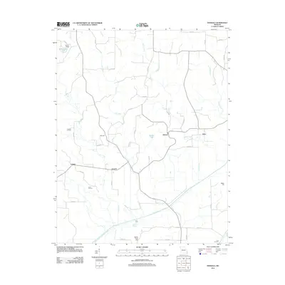
2012 Map of Dongola
USGS Topo · Published 2012About this map
Dongola and the surrounding rural communities of Glennon and Schlatitz anchor this topographic view of Bollinger County. The landscape is defined by the significant hydraulic engineering of the Castor River Diversion Channel, which cuts diagonally across the southern half of the map, accompanied by the Cato Levee. This massive drainage project fundamentally altered the local hydrology, managing the flow of natural waterways like Cane Creek and Dry Creek to protect the agricultural bottomlands near the Goose Pond Hills.
Find a feature on this map
42 named features on this map. Tap any name to fly to it.
Don’t see what you’re looking for? This feature index may not catch every label — zoom into the map to look around manually.
Map Details
Editions of this 2012 Dongola Map
This is the sole edition of this map. No revisions or reprints were ever made.
Other maps of this area

1933 · Marble Hill
USGS Topo · 1:62,500

1933 · Marquand
USGS Topo · 1:62,500

1934 · Advance
USGS Topo · 1:62,500

1935 · Zalma
USGS Topo · 1:62,500

1937 · Marble Hill
USGS Topo · 1:62,500

1938 · Marquand
USGS Topo · 1:62,500

1939 · Advance
USGS Topo · 1:62,500

1939 · Zalma
USGS Topo · 1:62,500

1949 · Paducah
USGS Topo · 1:250,000

1949 · Rolla
USGS Topo · 1:250,000