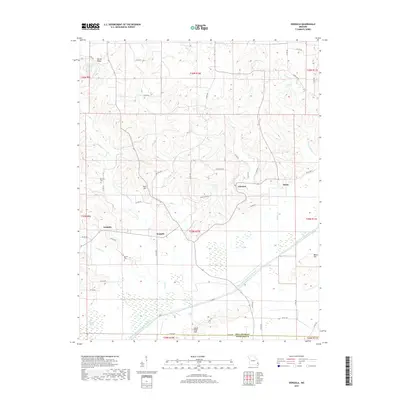
2017 Map of Dongola
USGS Topo · Published 2017About this map
Dongola and Glennon serve as the primary focal points of this portion of Bollinger County, where the landscape transitions from the wooded elevations of the Goose Pond Hills and Null Hill into the managed lowlands to the south. The southern reaches are defined by a massive hydrological engineering effort, notably the Castor River Diversion Channel, which is reinforced by a Levee to control flooding in the reclaimed agricultural tracts. This system bisects the terrain near the Dark Cypress Swamp, illustrating the long-standing efforts to drain and utilize the bottomlands.
Find a feature on this map
60 named features on this map. Tap any name to fly to it.
Don’t see what you’re looking for? This feature index may not catch every label — zoom into the map to look around manually.
Map Details
Editions of this 2017 Dongola Map
This is the sole edition of this map. No revisions or reprints were ever made.
Other maps of this area

1933 · Marble Hill
USGS Topo · 1:62,500

1933 · Marquand
USGS Topo · 1:62,500

1934 · Advance
USGS Topo · 1:62,500

1935 · Zalma
USGS Topo · 1:62,500

1937 · Marble Hill
USGS Topo · 1:62,500

1938 · Marquand
USGS Topo · 1:62,500

1939 · Advance
USGS Topo · 1:62,500

1939 · Zalma
USGS Topo · 1:62,500

1949 · Paducah
USGS Topo · 1:250,000

1949 · Rolla
USGS Topo · 1:250,000