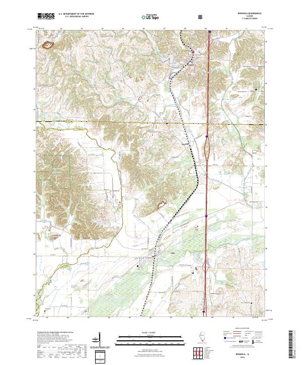
1966 Map of Dongola
USGS Topo · Published 1967About this map
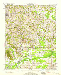
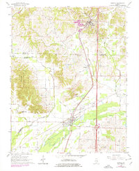
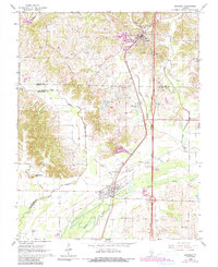
The Illinois Central and Chicago and Eastern Illinois railroads anchor the industrial and social layout of Southern Illinois in this mid-1960s snapshot. Running parallel through the heart of the terrain, these lines connect the settlements of Dongola, Wetaug, and Ullin, reflecting a landscape deeply shaped by rail transport. To the west, the dense woodlands of the Shawnee National Forest rise toward Rattlesnake Hill, while the lowlands are defined by the winding course of the Cache River and its tributaries like Indian Camp Creek. Family and community history is preserved in numerous rural landmarks, including the Mt Pisgah Ch and Beech Grove Ch. Local industry is evident in several Quarries dotting the hills, while the proximity of five distinct cemeteries, such as the American Legion Cem and Shiffer Cem, provides a detailed record of the region's genealogical footprint.
Find a feature on this map
30 named features on this map. Tap any name to fly to it.
Don’t see what you’re looking for? This feature index may not catch every label — zoom into the map to look around manually.
Map Details
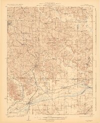
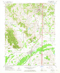
Editions of this 1966 Dongola Map
3 editions found
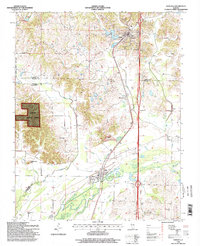
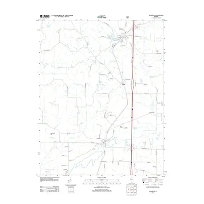
Historical Maps of Dongola Through Time
9 maps found