Loading...
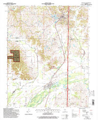
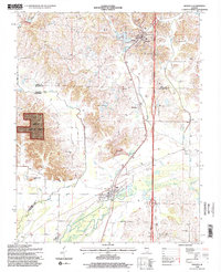
Loading map...1996 Map of Dongola
USGS Topo · Published 1998About this map
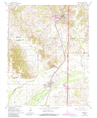
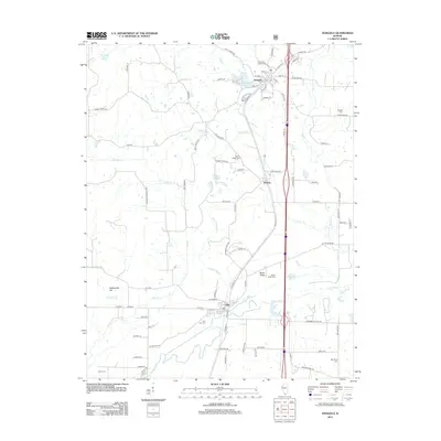
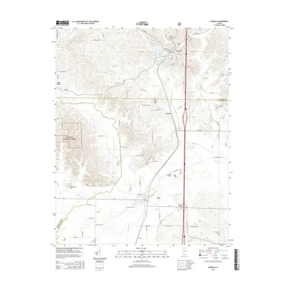
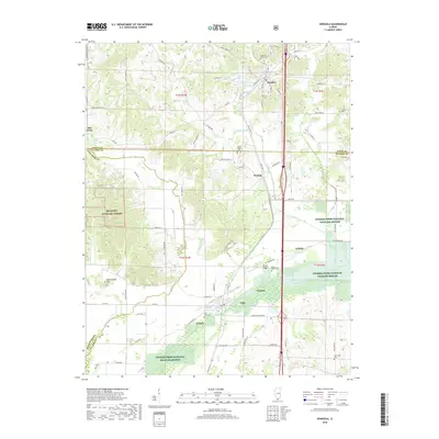
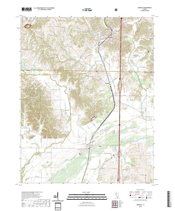
Dongola, Wetaug, and Ullin anchor this 1996 survey of Southern Illinois, situated along the corridor of the Illinois Central Railroad. The landscape is defined by the transition from the rolling hills of the Shawnee National Forest to the low-lying wetlands of the Cache River basin. The area reflects a deep history of rural settlement and industry, evidenced by numerous Quarries and landmarks like the American Legion Camp.
Find a feature on this map
28 named features on this map. Tap any name to fly to it.
Don’t see what you’re looking for? This feature index may not catch every label — zoom into the map to look around manually.
Map Details
Date Portrayed1996
Date Published1998
PublisherU.S. Geological Survey
Map TypeTopographic
Scale1:24,000
Physical Dimensions22 x 27 inches
Editions of this 1996 Dongola Map
2 editions found
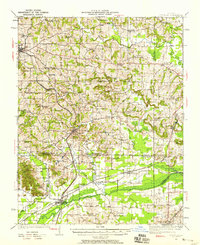
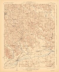
Historical Maps of Dongola Through Time
9 maps found

Featured Locations
Source Details
SourceU.S. Geological Survey
CopyrightPublic Domain