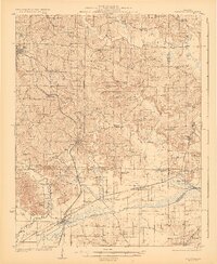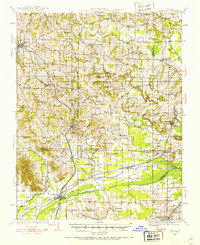
1920 Map of Dongola
USGS Topo · Published 1953About this map
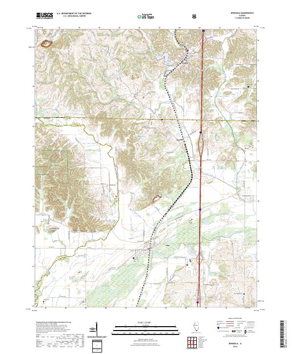
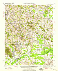
The State Hospital and the bustling rail junctions of Dongola define this section of southern Illinois as it appeared during the 1919-1920 survey. This landscape is a complex intersection of county lines and transportation corridors, where the Illinois Central and Mobile and Ohio railroads cut through the hills and wetlands. The southern portion of the map is dominated by the sprawling Cache River and its associated bottomlands, including Cypress Creek and various ponds like Morgan Pond and Swan Pond. These water bodies and ridges, such as Butter Ridge, heavily influenced the placement of early settlements and the winding routes of local roads.
Find a feature on this map
67 named features on this map. Tap any name to fly to it.
Don’t see what you’re looking for? This feature index may not catch every label — zoom into the map to look around manually.
Map Details
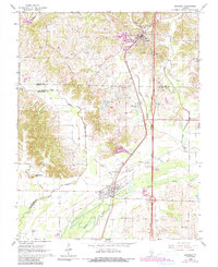
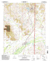
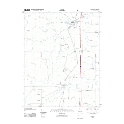
Editions of this 1920 Dongola Map
3 editions found

Historical Maps of Anna Through Time
9 maps found