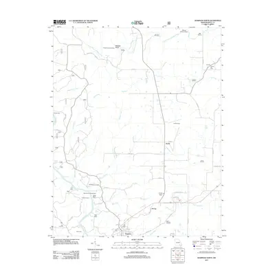
2011 Map of Doniphan North
USGS Topo · Published 2011About this map
Current River flows through the southwestern corner of this landscape, carving distinctive landmarks like Cedar Bluff, Pine Bluff, and Worley Rock. The terrain north of Doniphan is defined by a dense network of tributaries including Isaacs Creek, Simpson Creek, and Logan Creek, which drain the hollows and flats of the Ozark foothills. This area preserves a high density of small-scale family and community landmarks, particularly evident in the numerous burial grounds such as Oak Ridge Cemetery and Saint Benedicts Cemetery.
Find a feature on this map
60 named features on this map. Tap any name to fly to it.
Don’t see what you’re looking for? This feature index may not catch every label — zoom into the map to look around manually.
Map Details
Editions of this 2011 Doniphan North Map
This is the sole edition of this map. No revisions or reprints were ever made.
Other maps of this area

1934 · Williamsville
USGS Topo · 1:48,000

1935 · Acorn
USGS Topo · 1:62,500

1939 · Doniphan
USGS Topo · 1:62,500

1940 · Williamsville
USGS Topo · 1:62,500

1940 · Naylor
USGS Topo · 1:62,500

1944 · Naylor
USGS Topo · 1:62,500

1944 · Grandin
USGS Topo · 1:62,500

1945 · Doniphan
USGS Topo · 1:62,500

1946 · Grandin
USGS Topo · 1:62,500

1957 · Poplar Bluff
USGS Topo · 1:250,000