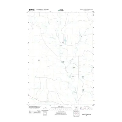
2011 Map of Donleys Reservoir
USGS Topo · Published 2011About this map
Big Porcupine Creek meanders through this portion of Rosebud County, defining a landscape shaped by water management and drainage. The area is characterized by an extensive network of small-scale dams and reservoirs, which highlight the efforts of local landowners to harness seasonal runoff in a semi-arid environment. Named features such as the T L Johnson Number 5 Dam, French Number 10 Dam, and Erickson Number 3 Dam suggest a history of family-owned ranching or agricultural operations that relied on these catchments.
Find a feature on this map
15 named features on this map. Tap any name to fly to it.
Don’t see what you’re looking for? This feature index may not catch every label — zoom into the map to look around manually.
Map Details
Editions of this 2011 Donleys Reservoir Map
This is the sole edition of this map. No revisions or reprints were ever made.
Other maps of this area

1954 · Forsyth
USGS Topo · 1:250,000

1957 · Forsyth
USGS Topo · 1:250,000

1958 · Forsyth
USGS Topo · 1:250,000

1960 · Vananda
USGS Topo · 1:24,000

1960 · Sanders
USGS Topo · 1:24,000

1960 · Zempel Lake
USGS Topo · 1:24,000

1968 · Donleys Reservoir
USGS Topo · 1:24,000

1968 · Nichols
USGS Topo · 1:24,000

1968 · Finch NE
USGS Topo · 1:24,000

1968 · Finch
USGS Topo · 1:24,000