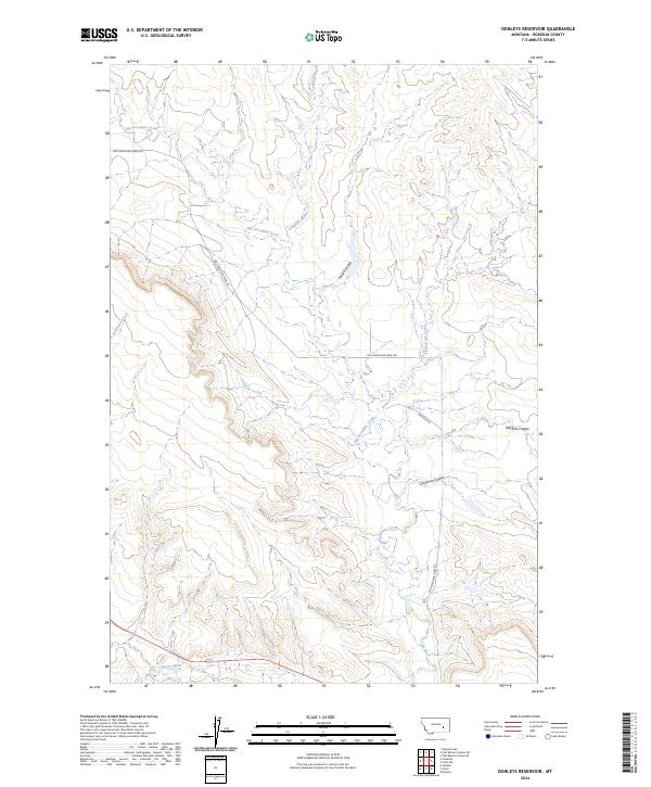
2024 Map of Donleys Reservoir
USGS Topo · Published 2024About this map
Big Porcupine Creek defines the drainage patterns of this Rosebud County landscape, cutting through a series of pronounced coulees. The map illustrates a contemporary rural Montana environment where significant waterways like Longfork Creek and Living Ash Creek intersect with local land divisions. Transportation in the area relies on a sparse network of gravel and local roads, most notably Big Porcupine Creek Rd, which follows the general path of the primary drainage. The terrain is marked by distinctive geological features such as Larson Coulee, Crossman Coulee, and Machine Coulee, which highlight the erosional patterns common to this part of the state. Small local routes like Johnson Ln provide access to the interior sections of these townships, while Anderson Creek and Horse Creek further delineate the watershed boundaries across multiple township and range lines.
Find a feature on this map
15 named features on this map. Tap any name to fly to it.
Don’t see what you’re looking for? This feature index may not catch every label — zoom into the map to look around manually.
Map Details
Editions of this 2024 Donleys Reservoir Map
This is the sole edition of this map. No revisions or reprints were ever made.
Other maps of this area

1954 · Forsyth
USGS Topo · 1:250,000

1957 · Forsyth
USGS Topo · 1:250,000

1958 · Forsyth
USGS Topo · 1:250,000

1960 · Vananda
USGS Topo · 1:24,000

1960 · Sanders
USGS Topo · 1:24,000

1960 · Zempel Lake
USGS Topo · 1:24,000

1968 · Donleys Reservoir
USGS Topo · 1:24,000

1968 · Nichols
USGS Topo · 1:24,000

1968 · Finch NE
USGS Topo · 1:24,000

1968 · Finch
USGS Topo · 1:24,000