Loading...
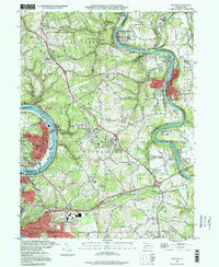
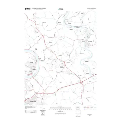
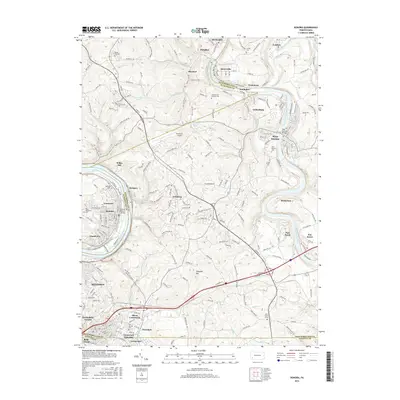
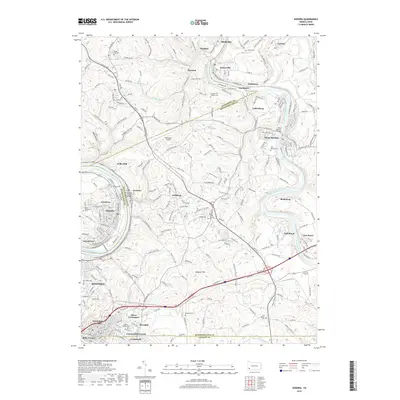
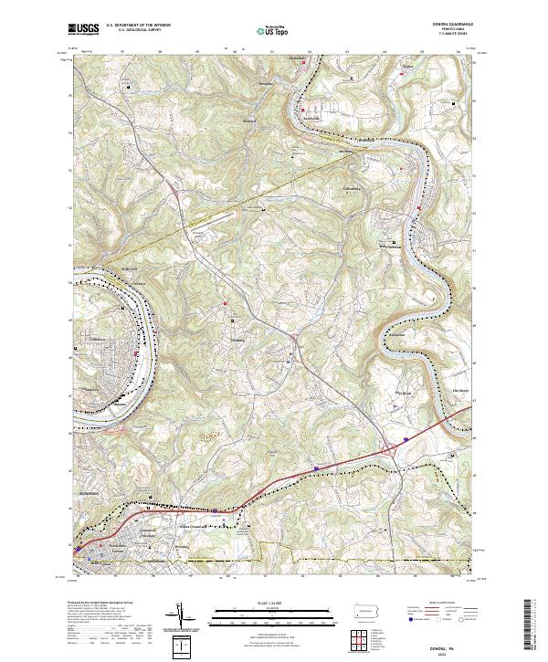
Loading map...1993 Map of Donora
USGS Topo · Published 1998About this map
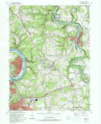
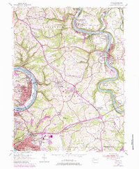
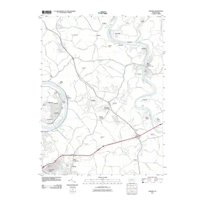
The Monongahela River and Youghiogheny River carve deep valleys through this industrial heartland, where the borough of Donora occupies a sharp bend in the riverbank. This landscape is a dense network of coal-country history, featuring long-established mining operations such as Douglass Mines and Guffey Mine. The infrastructure of the late twentieth century is well-developed, from the Rostraver Airport and Westmoreland County Community College to the Conrail lines that follow the water's edge.
Find a feature on this map
88 named features on this map. Tap any name to fly to it.
Don’t see what you’re looking for? This feature index may not catch every label — zoom into the map to look around manually.
Map Details
Date Portrayed1993
Date Published1998
PublisherU.S. Geological Survey
Map TypeTopographic
Scale1:24,000
Physical Dimensions22 x 26.8 inches
Editions of this 1993 Donora Map
2 editions found
Historical Maps of Monessen Through Time
7 maps found
Featured Locations
Source Details
SourceU.S. Geological Survey
CopyrightPublic Domain