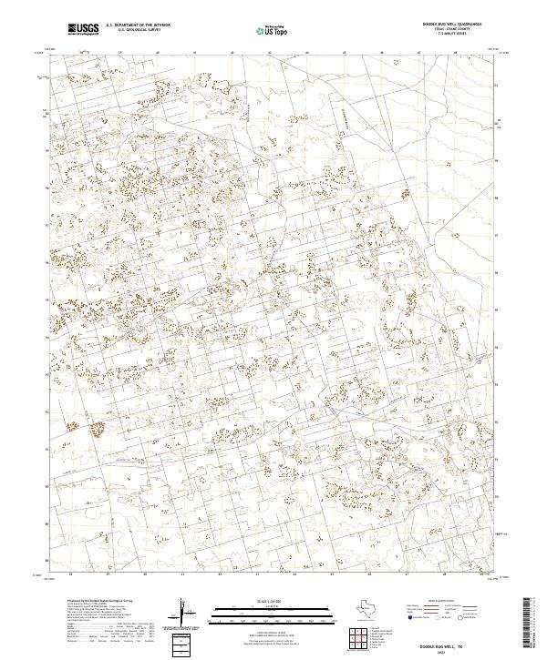
2022 Map of Doodle Bug Well
USGS Topo · Published 2022About this map
Landreth Draw meanders through this Crane County landscape, defining the local topography in a region marked by extensive resource extraction infrastructure. The network of roads, including Phillips Water Rd and Geeter Rd, illustrates a highly organized grid system adapted for industrial access rather than traditional residential settlement. These corridors, along with University Rd and Mobile Rd, provide a window into the modern development of West Texas oil and water management systems. The transition from state-maintained routes like Fm 1601 N to more localized ranch and farm roads like Farm Rd 1233 and Ranch Rd 1233 highlights the specialized nature of the land use in this part of the Permian Basin.
Find a feature on this map
8 named features on this map. Tap any name to fly to it.
Don’t see what you’re looking for? This feature index may not catch every label — zoom into the map to look around manually.
Map Details
Editions of this 2022 Doodle Bug Well Map
This is the sole edition of this map. No revisions or reprints were ever made.
Other maps of this area

1928 · Crane
USGS Topo · 1:125,000

1954 · Pecos
USGS Topo · 1:250,000

1957 · Pecos
USGS Topo · 1:250,000

1964 · Doodle Bug Well
USGS Topo · 1:24,000

1964 · Penwell
USGS Topo · 1:24,000

1964 · Penwell SE
USGS Topo · 1:24,000

1964 · Clark Brothers Ranch
USGS Topo · 1:24,000

1964 · Perkins Lake
USGS Topo · 1:24,000

1965 · South Cowden Ranch
USGS Topo · 1:24,000

1974 · Tubbs Corner
USGS Topo · 1:24,000