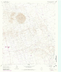
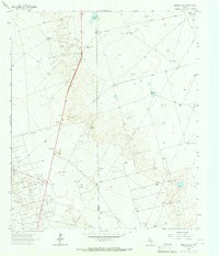
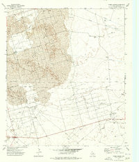
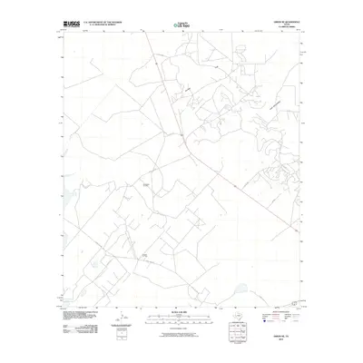
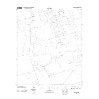
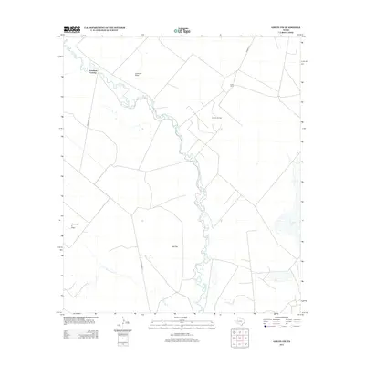
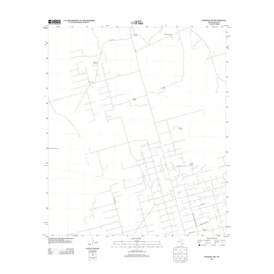
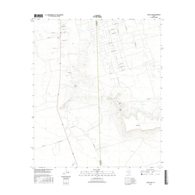
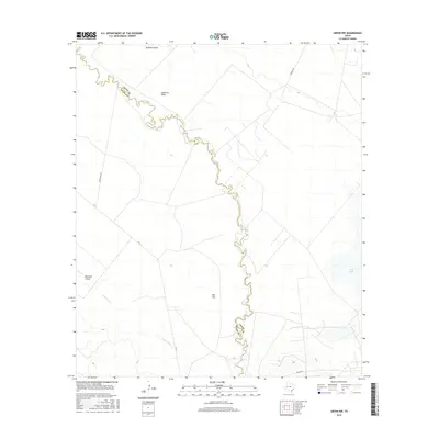
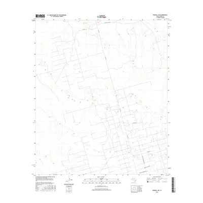
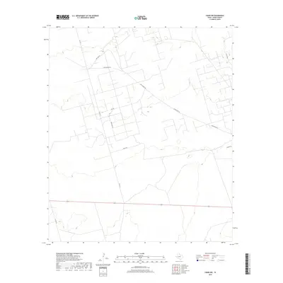
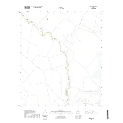
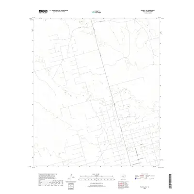
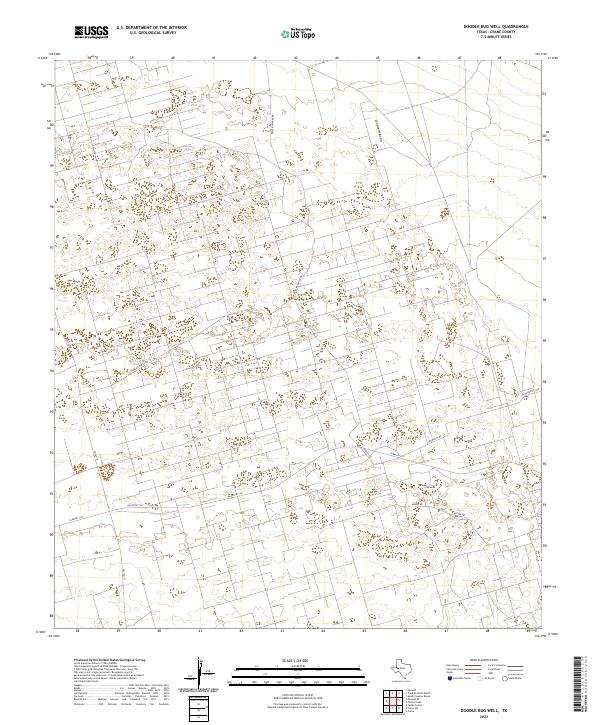
1964 Map of Doodle Bug Well
USGS Topo · Published 1981About this map
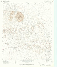
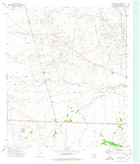
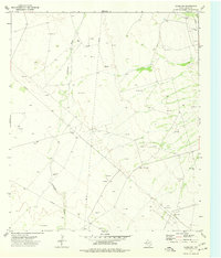
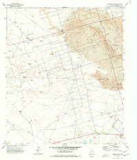
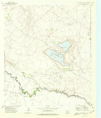
The extraction landscape of the Permian Basin is clearly defined in this mid-century look at West Texas. Dominated by the University Waddell Oil Field and the adjacent Waddell Oil Field, the region is a complex grid of pipelines and service roads cutting through the natural terrain. The infrastructure is anchored by numerous named water sources, including the eponymous Doodle Bug Well, Big South Well, and Adams Well, which were essential for maintaining operations in this arid environment.
Find a feature on this map
14 named features on this map. Tap any name to fly to it.
Don’t see what you’re looking for? This feature index may not catch every label — zoom into the map to look around manually.
Map Details
Editions of this 1964 Doodle Bug Well Map
2 editions found
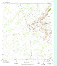
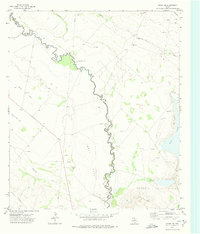
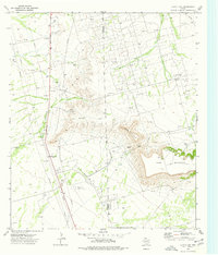
Historical Maps of Crane County Through Time
72 maps found
1964 Doodle Bug Well
Crane County, TX
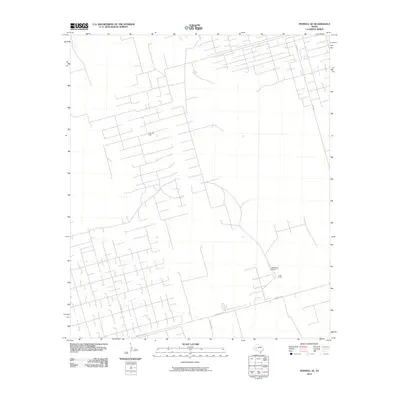
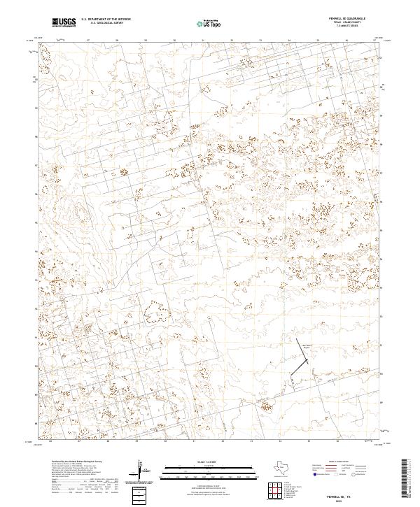
1964 Penwell SE
Crane County, TX
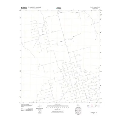
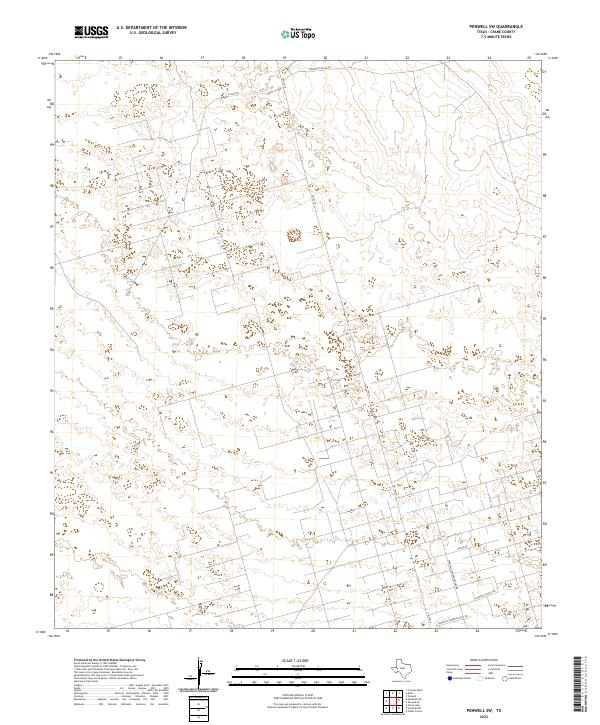
1964 Penwell SW
Crane County, TX
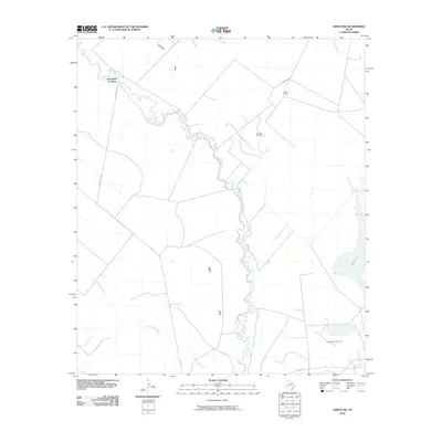
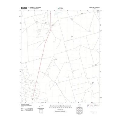
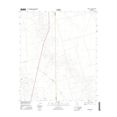
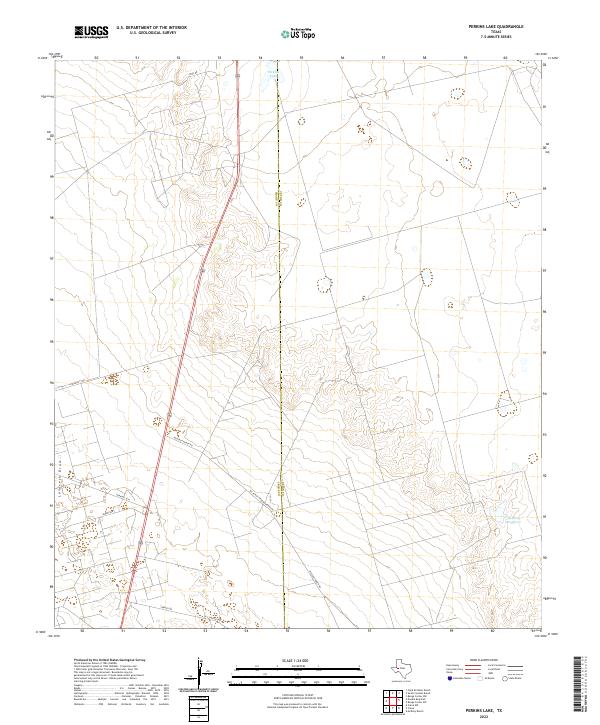
1964 Perkins Lake
Crane County, TX
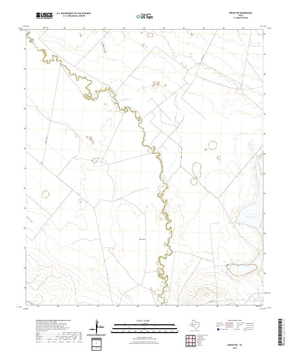
1972 Girvin NE
Crane County, TX
1972 Girvin NW
Crane County, TX
1974 Castle Gap
Crane County, TX
1974 Crane NW
Crane County, TX
1974 Crane SW
Crane County, TX
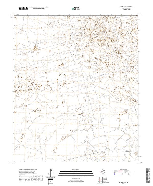
1974 Imperial NW
Crane County, TX
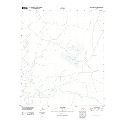
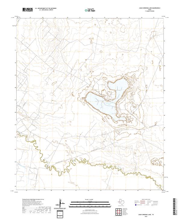
1974 Juan Cordona Lake
Crane County, TX
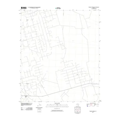
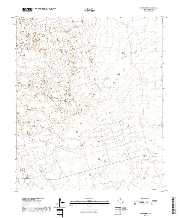
1974 Tubbs Corner
Crane County, TX

2010 Castle Gap
Crane County, TX
2010 Crane NW
Crane County, TX
2010 Crane SW
Crane County, TX
2010 Doodle Bug Well
Crane County, TX
2010 Girvin NE
Crane County, TX
2010 Girvin NW
Crane County, TX
2010 Imperial NW
Crane County, TX
2010 Juan Cordona Lake
Crane County, TX
2010 Penwell SE
Crane County, TX
2010 Penwell SW
Crane County, TX
2010 Perkins Lake
Crane County, TX
2010 Tubbs Corner
Crane County, TX
2012 Castle Gap
Crane County, TX
2012 Crane NW
Crane County, TX
2012 Crane SW
Crane County, TX
2012 Girvin NE
Crane County, TX
2012 Girvin NW
Crane County, TX
2012 Imperial NW
Crane County, TX
2012 Juan Cordona Lake
Crane County, TX
2012 Penwell SE
Crane County, TX
2012 Penwell SW
Crane County, TX
2012 Perkins Lake
Crane County, TX
2012 Tubbs Corner
Crane County, TX
2013 Doodle Bug Well
Crane County, TX
2016 Castle Gap
Crane County, TX
2016 Crane NW
Crane County, TX
2016 Crane SW
Crane County, TX

2016 Doodle Bug Well
Crane County, TX
2016 Girvin NE
Crane County, TX
2016 Girvin NW
Crane County, TX
2016 Imperial NW
Crane County, TX
2016 Juan Cordona Lake
Crane County, TX
2016 Penwell SE
Crane County, TX
2016 Penwell SW
Crane County, TX
2016 Perkins Lake
Crane County, TX
2016 Tubbs Corner
Crane County, TX
2019 Castle Gap
Crane County, TX
2019 Crane NW
Crane County, TX
2019 Crane SW
Crane County, TX
2019 Doodle Bug Well
Crane County, TX
2019 Girvin NE
Crane County, TX
2019 Girvin NW
Crane County, TX
2019 Imperial NW
Crane County, TX
2019 Juan Cordona Lake
Crane County, TX
2019 Penwell SE
Crane County, TX
2019 Penwell SW
Crane County, TX
2019 Perkins Lake
Crane County, TX
2019 Tubbs Corner
Crane County, TX
2022 Castle Gap
Crane County, TX
2022 Crane NW
Crane County, TX
2022 Crane SW
Crane County, TX
2022 Doodle Bug Well
Crane County, TX
2022 Girvin NE
Crane County, TX
2022 Girvin NW
Crane County, TX
2022 Imperial NW
Crane County, TX
2022 Juan Cordona Lake
Crane County, TX
2022 Penwell SE
Crane County, TX
2022 Penwell SW
Crane County, TX
2022 Perkins Lake
Crane County, TX
2022 Tubbs Corner
Crane County, TX