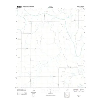
2013 Map of Doole
USGS Topo · Published 2013About this map
The Colorado River defines the northern reaches of this landscape, carving a prominent horseshoe known as Brady Bend near the small settlement of Stacy. This region of McCulloch County is a network of intermittent drainage and rural ranch roads, where Bois d'Arc Cr and Salt Cr meander toward the larger river system. The community of Doole serves as a central point for the local road network, situated at the intersection of Ranch Road 503 and FM-705.
Find a feature on this map
32 named features on this map. Tap any name to fly to it.
Don’t see what you’re looking for? This feature index may not catch every label — zoom into the map to look around manually.
Map Details
Editions of this 2013 Doole Map
This is the sole edition of this map. No revisions or reprints were ever made.
Other maps of this area
1887 · Coleman
USGS Topo · 1:125,000
1889 · Coleman
USGS Topo · 1:125,000
1892 · Eden
USGS Topo · 1:125,000
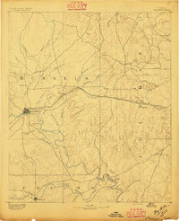
1892 · Ballinger
USGS Topo · 1:125,000
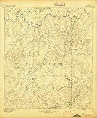
1894 · Brady
USGS Topo · 1:125,000
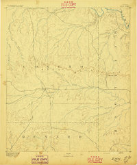
1896 · Eden
USGS Topo · 1:125,000
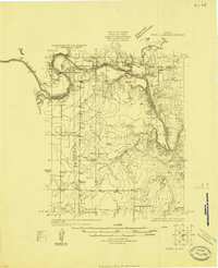
1924 · Eden 1-a
USGS Topo · 1:48,000
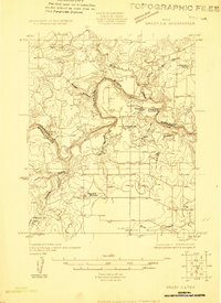
1925 · Brady 2-b
USGS Topo · 1:48,000
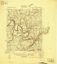
1925 · Ballinger 4-c
USGS Topo · 1:48,000
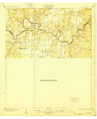
1928 · Waldrip
USGS Topo · 1:62,500