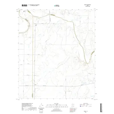
2019 Map of Doole
USGS Topo · Published 2019About this map
The Colorado River defines the northern reaches of this landscape, carving dramatic loops at Horseshoe Bend and Brady Bend where the boundaries of Coleman, Concho, and McCulloch counties converge. This 2019 survey captures the quiet rural character of the region, centered on the small settlements of Doole and Stacy. The terrain is shaped by an intricate network of drainage systems, including Bois d'Arc Cr and the various branches of Salt Cr and Salt Br, which flow through the ranch lands. Local transportation is anchored by Ranch Rd 765 and FM 503, connecting these remote outposts to the surrounding counties. A notable local landmark, the J E Cox Estate Lake, sits in the southeastern portion of the quadrangle, reflecting the importance of water management and private landholdings in this part of Central Texas.
Find a feature on this map
39 named features on this map. Tap any name to fly to it.
Don’t see what you’re looking for? This feature index may not catch every label — zoom into the map to look around manually.
Map Details
Editions of this 2019 Doole Map
This is the sole edition of this map. No revisions or reprints were ever made.
Other maps of this area

1887 · Coleman
USGS Topo · 1:125,000

1889 · Coleman
USGS Topo · 1:125,000

1892 · Eden
USGS Topo · 1:125,000

1892 · Ballinger
USGS Topo · 1:125,000

1894 · Brady
USGS Topo · 1:125,000

1896 · Eden
USGS Topo · 1:125,000

1924 · Eden 1-a
USGS Topo · 1:48,000

1925 · Brady 2-b
USGS Topo · 1:48,000

1925 · Ballinger 4-c
USGS Topo · 1:48,000

1928 · Waldrip
USGS Topo · 1:62,500