
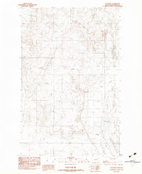
1983 Map of Dooley SE
USGS Topo · Published 1983About this map
Antelope Creek winds through this sparsely populated corner of Sheridan County, Montana, as documented in this 1983 provisional release. The landscape is defined by the high plains drainage system, including the South Fork Antelope Creek, which carves subtle relief into the terrain. Human presence is concentrated around small-scale infrastructure and markers of local heritage, such as a remote Cem and a Radio Tower that serves as a primary landmark for the surrounding ranching country.
Find a feature on this map
7 named features on this map. Tap any name to fly to it.
Don’t see what you’re looking for? This feature index may not catch every label — zoom into the map to look around manually.
Map Details
Editions of this 1983 Dooley SE Map
This is the sole edition of this map. No revisions or reprints were ever made.
Other maps of this area

1948 · Antelope
USGS Topo · 1:24,000

1949 · Antelope
USGS Topo · 1:24,000

1954 · Wolf Point
USGS Topo · 1:250,000

1958 · Wolf Point
USGS Topo · 1:250,000

1983 · Dooley
USGS Topo · 1:24,000

1983 · Tadpole Lake
USGS Topo · 1:24,000

1983 · Dooley SW
USGS Topo · 1:24,000

1983 · Lone Tree Lake
USGS Topo · 1:24,000
1983 · Coalridge
USGS Topo · 1:24,000

1983 · Park Lake
USGS Topo · 1:24,000