
1983 Map of Dooley
USGS Topo · Published 1983About this map
Sheridan County's northern edge meets the international border in this early 1980s record of the high plains landscape. The small settlement of Dooley sits in the southeast corner, anchored by an improved road that provides a rare point of reference in an otherwise sparse, undulating terrain marked by countless depressions and small summits. Along the northern margin, the Canada United States border defines the limits of the survey, where the Saskatchewan Montana boundary separates the rural townships of the northern plains. Water is concentrated in a few named basins such as Johnson Lake and Brightsmen Lake in the northeast, providing essential landmarks in a region defined more by its surveying grid and international frontier than by dense habitation.
Find a feature on this map
7 named features on this map. Tap any name to fly to it.
Don’t see what you’re looking for? This feature index may not catch every label — zoom into the map to look around manually.
Map Details
Editions of this 1983 Dooley Map
This is the sole edition of this map. No revisions or reprints were ever made.
Other maps of this area

1954 · Wolf Point
USGS Topo · 1:250,000

1958 · Wolf Point
USGS Topo · 1:250,000

1983 · Dooley SW
USGS Topo · 1:24,000

1983 · Dooley SE
USGS Topo · 1:24,000

1983 · Park Lake
USGS Topo · 1:24,000

1983 · Plentywood
USGS Topo · 1:24,000

1983 · Raymond
USGS Topo · 1:24,000
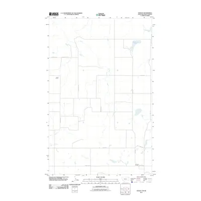
2011 · Dooley
USGS Topo · 1:24,000
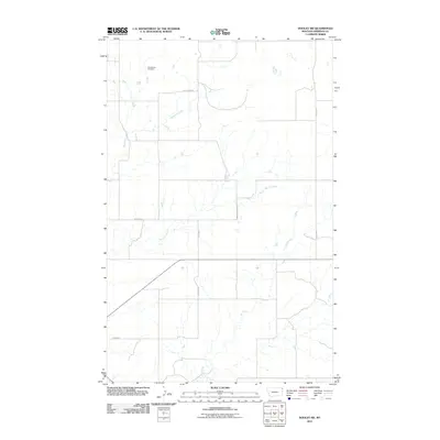
2011 · Dooley SW
USGS Topo · 1:24,000
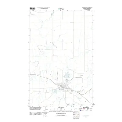
2011 · Plentywood
USGS Topo · 1:24,000