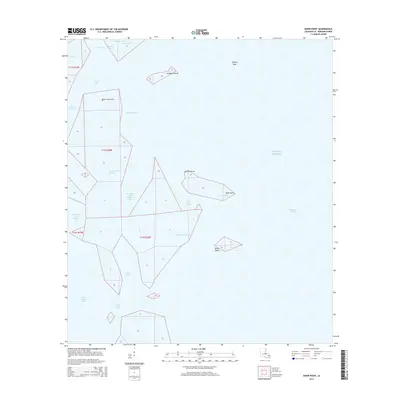
2015 Map of Door Point
USGS Topo · Published 2015About this map
Door Point marks a critical coastal threshold where the marshy labyrinths of Saint Bernard Parish meet the Gulf of Mexico. This coastal landscape is defined by its fragmentation, featuring a network of passes and bayous such as Grand Pass, Little Bayou Pierre, and Murder Bayou. These waterways carve through the wetland to form distinct landforms like Sundown Island and the Pfiefer Keys. The map illustrates the precarious nature of this amphibious environment, where named points like Point Chevrette and Pelican Point serve as the only solid markers amidst vast water bodies like Oyster Bay and Chandeleur Sound. For those studying the evolution of the Louisiana coastline, the layout of Door Point Lagoon and Deep Water Pass provides a detailed look at the hydrology of the outer delta before further subsidence and coastal change.
Find a feature on this map
28 named features on this map. Tap any name to fly to it.
Don’t see what you’re looking for? This feature index may not catch every label — zoom into the map to look around manually.
Map Details
Editions of this 2015 Door Point Map
This is the sole edition of this map. No revisions or reprints were ever made.
Other maps of this area
1893 · Cat Island
USGS Topo · 1:62,500
1893 · Chandeleur
USGS Topo · 1:62,500
1893 · Toulme
USGS Topo · 1:62,500
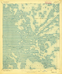
1895 · Bodreau
USGS Topo · 1:62,500
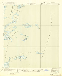
1935 · Mitchell Keys
USGS Topo · 1:31,680
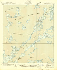
1946 · Oak Mound Bayou
USGS Topo · 1:31,680
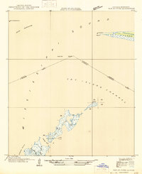
1946 · Isle Au Pitre
USGS Topo · 1:31,680
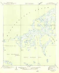
1949 · Drum Bay
USGS Topo · 1:31,680
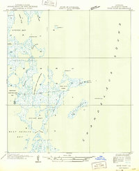
1949 · Door Point
USGS Topo · 1:31,680
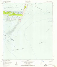
1951 · Cat Island
USGS Topo · 1:24,000