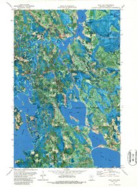
1971 Map of Dora Lake
USGS Topo · Published 1988About this map
Chippewa National Forest surrounds a complex network of waterways and wetlands in Itasca County, defined by the convergence of the Popple River and Bowstring River. This 1971 survey captures the landscape shortly after the aerial photography of 1969, showing the northern boundary of the Leech Lake Indian Reservation cutting across Rice Lake. The rural settlements of Dora Lake and Oslund serve as focal points for the local community, while the Popple Cem near the river reflects the area's early family history.
Find a feature on this map
26 named features on this map. Tap any name to fly to it.
Don’t see what you’re looking for? This feature index may not catch every label — zoom into the map to look around manually.
Map Details
Editions of this 1971 Dora Lake Map
2 editions found
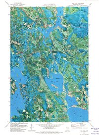
Other maps of this area

1918 · Zora
USGS Topo · 1:62,500

1919 · Zora
USGS Topo · 1:62,500

1919 · Gemmell
USGS Topo · 1:62,500

1919 · Max
USGS Topo · 1:62,500

1954 · Bemidji
USGS Topo · 1:250,000

1954 · Hibbing
USGS Topo · 1:250,000

1957 · Bemidji
USGS Topo · 1:250,000

1957 · Hibbing
USGS Topo · 1:250,000

1958 · Bemidji
USGS Topo · 1:250,000

1958 · Hibbing
USGS Topo · 1:250,000