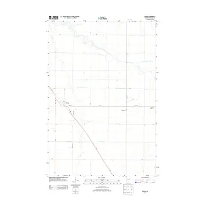
2013 Map of Doran
USGS Topo · Published 2013About this map
Doran serves as the primary hub of this Wilkin County landscape, situated where MN-9 and Us-75 converge. The surrounding terrain is defined by a highly organized system of agricultural drainage, with features like State Ditch Number Seventeen, Co-operative Ditch Number One, and Ditch Number One cutting across the geometric section lines. This complex network reflects the intensive land management required to sustain farming in the Red River Valley region. To the north, the Otter Tail River meanders through the plains, offering a sharp contrast to the straight-line precision of the drainage ditches. Local heritage is preserved at sites like Sticklestad Cem and the Old Vikku Lutheran Cem, which provide specific points of interest for genealogists researching the area's early settlement and community centers.
Find a feature on this map
25 named features on this map. Tap any name to fly to it.
Don’t see what you’re looking for? This feature index may not catch every label — zoom into the map to look around manually.
Map Details
Editions of this 2013 Doran Map
This is the sole edition of this map. No revisions or reprints were ever made.
Other maps of this area
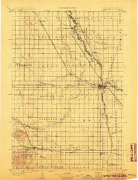
1904 · Wahpeton
USGS Topo · 1:125,000
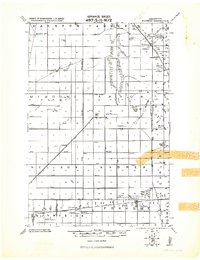
1919 · Rothsay
USGS Topo · 1:62,500
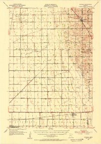
1951 · Rothsay
USGS Topo · 1:62,500
1951 · Campbell
USGS Topo · 1:62,500
1953 · Fargo
USGS Topo · 1:250,000
1956 · Fargo
USGS Topo · 1:250,000
1964 · Wahpeton
USGS Topo · 1:24,000
1973 · South of Wahpeton
USGS Topo · 1:24,000
1973 · Fairmount
USGS Topo · 1:24,000
1981 · Campbell
USGS Topo · 1:24,000