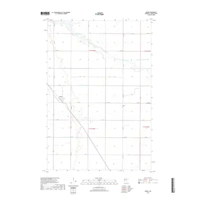
2019 Map of Doran
USGS Topo · Published 2019About this map
Doran serves as the primary settlement in this corner of Wilkin County, situated where several local roads and the railroad corridor converge. The surrounding landscape is defined by the winding course of the Otter Tail River, which meanders across the northern portion of the quadrangle before flowing westward. This agricultural region is heavily marked by an extensive water management system designed to drain the flat prairie, including the State Ditch Number Seventeen and Ditch Number One. For those researching local family history, the map identifies two significant burial sites: Stiklestad Cem and the Old Vikku Lutheran Cem located further east. The grid of township roads, such as Twp Rd 140 and 230th Ave, illustrates the enduring structure of the Public Land Survey System across this rural Minnesota territory.
Find a feature on this map
38 named features on this map. Tap any name to fly to it.
Don’t see what you’re looking for? This feature index may not catch every label — zoom into the map to look around manually.
Map Details
Editions of this 2019 Doran Map
This is the sole edition of this map. No revisions or reprints were ever made.
Other maps of this area
1904 · Wahpeton
USGS Topo · 1:125,000
1919 · Rothsay
USGS Topo · 1:62,500
1951 · Rothsay
USGS Topo · 1:62,500
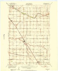
1951 · Campbell
USGS Topo · 1:62,500
1953 · Fargo
USGS Topo · 1:250,000
1956 · Fargo
USGS Topo · 1:250,000
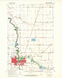
1964 · Wahpeton
USGS Topo · 1:24,000
1973 · South of Wahpeton
USGS Topo · 1:24,000
1973 · Fairmount
USGS Topo · 1:24,000
1981 · Campbell
USGS Topo · 1:24,000