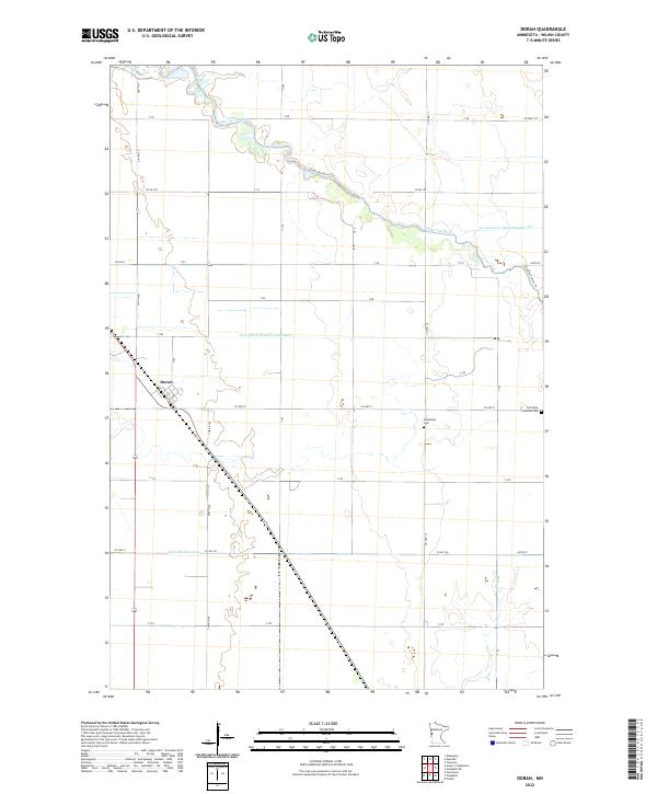
2022 Map of Doran
USGS Topo · Published 2022About this map
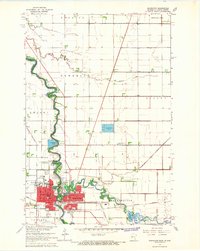
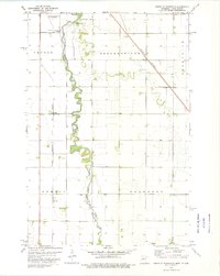
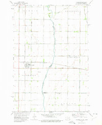
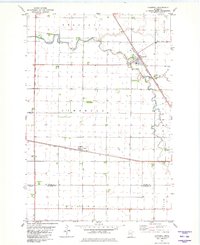
The village of Doran sits at a crossroads of rail and road in the Red River Valley, serving as a focal point for the surrounding agricultural plains of Wilkin County. The landscape is defined by a complex drainage network designed to manage the fertile but low-lying terrain, including the meandering Otter Tail River and engineered waterways like State Ditch Number Seventeen and Ditch Number One. Local heritage is anchored by sites like Stiklestad Cem and the Old Vikku Lutheran Cem, which reflect the area's Scandinavian settlement patterns. The map detail shows how the town is integrated into a grid of section lines and township roads such as Co HWY 8 and Co HWY 17, illustrating the systematic development of Minnesota's prairie land into a productive rural economy.
Find a feature on this map
39 named features on this map. Tap any name to fly to it.
Don’t see what you’re looking for? This feature index may not catch every label — zoom into the map to look around manually.
Map Details
Editions of this 2022 Doran Map
This is the sole edition of this map. No revisions or reprints were ever made.
Other maps of this area

1904 · Wahpeton
USGS Topo · 1:125,000
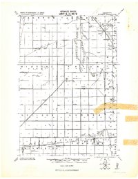
1919 · Rothsay
USGS Topo · 1:62,500
1951 · Rothsay
USGS Topo · 1:62,500
1951 · Campbell
USGS Topo · 1:62,500

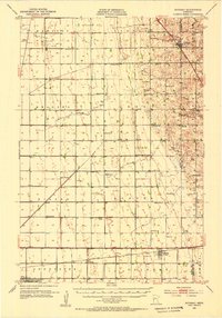
1953 · Fargo
USGS Topo · 1:250,000

1956 · Fargo
USGS Topo · 1:250,000
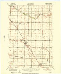
1964 · Wahpeton
USGS Topo · 1:24,000
1973 · South of Wahpeton
USGS Topo · 1:24,000
1973 · Fairmount
USGS Topo · 1:24,000
1981 · Campbell
USGS Topo · 1:24,000