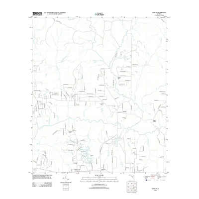
2012 Map of Dorcas
USGS Topo · Published 2012About this map
Shoal River meanders through this portion of Okaloosa County, serving as the central drainage for a network of creek systems including Pond Creek and Bear Cr. The landscape is defined by its transition from these wetlands to elevations like Yellow Bluff and Possum Ridge Rd. This 2012 survey reveals a rural settlement pattern centered on small communities such as Dorcas, Deerland, and Killingsworth Crossroads. Local family history and genealogy are anchored by several burial sites, including Old Dorcas Cem and Mount Olive Cem. The presence of The Funny Farm Airport and Triple B Airpark suggests a modern local aviation culture, while numerous named roads like Wolf Track Rdg and Lumber Ridge Rd hint at the area's topographic character and historical land use.
Find a feature on this map
144 named features on this map. Tap any name to fly to it.
Don’t see what you’re looking for? This feature index may not catch every label — zoom into the map to look around manually.
Map Details
Editions of this 2012 Dorcas Map
This is the sole edition of this map. No revisions or reprints were ever made.
Other maps of this area

1934 · Holt
USGS Topo · 1:48,000

1934 · Niceville
USGS Topo · 1:48,000

1936 · Niceville
USGS Topo · 1:62,500

1937 · Holt
USGS Topo · 1:62,500

1949 · Crestview
USGS Topo · 1:62,500

1949 · Laurel Hill
USGS Topo · 1:62,500

1950 · Laurel Hill
USGS Topo · 1:62,500

1951 · Crestview
USGS Topo · 1:62,500

1956 · Niceville
USGS Topo · 1:62,500

1956 · Holt
USGS Topo · 1:62,500