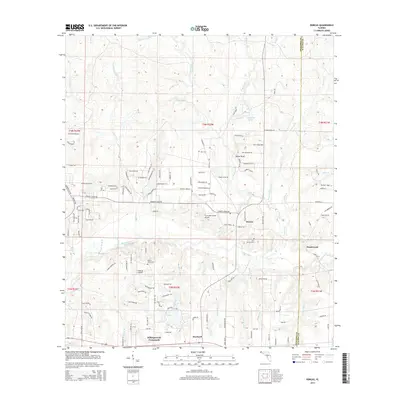
2015 Map of Dorcas
USGS Topo · Published 2015About this map
Shoal River meanders across the southern landscape of this Okaloosa County region, defining a terrain characterized by numerous creek drainages and low-lying areas like Gourd Bay. The settlement pattern is anchored by Dorcas and Deerland, with Killingsworth Crossroads marking a key junction in the southern portion of the map. This area shows a mix of rural residential development and agricultural land, interspersed with small private airstrips such as Five Oaks Estate Airport and Triple B Airpark. Local history is preserved in several burial grounds, including the Old Dorcas Cem, Hart Cem, and Mount Olive Cem. The network of watercourses, including Pond Creek and Juniper Creek, dictates the placement of winding country roads like Poverty Creek Rd and Possum Ridge Rd, illustrating how the physical geography of the Panhandle continues to influence modern transport and settlement.
Find a feature on this map
165 named features on this map. Tap any name to fly to it.
Don’t see what you’re looking for? This feature index may not catch every label — zoom into the map to look around manually.
Map Details
Editions of this 2015 Dorcas Map
This is the sole edition of this map. No revisions or reprints were ever made.
Other maps of this area

1934 · Holt
USGS Topo · 1:48,000

1934 · Niceville
USGS Topo · 1:48,000

1936 · Niceville
USGS Topo · 1:62,500

1937 · Holt
USGS Topo · 1:62,500

1949 · Crestview
USGS Topo · 1:62,500

1949 · Laurel Hill
USGS Topo · 1:62,500

1950 · Laurel Hill
USGS Topo · 1:62,500

1951 · Crestview
USGS Topo · 1:62,500

1956 · Niceville
USGS Topo · 1:62,500

1956 · Holt
USGS Topo · 1:62,500