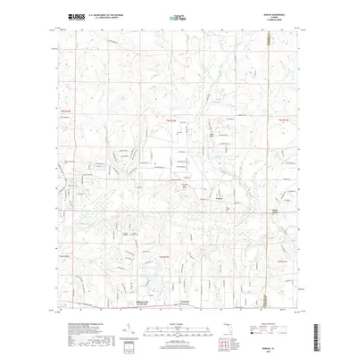
2018 Map of Dorcas
USGS Topo · Published 2018About this map
Shoal River and its complex network of tributaries, including Pond Creek, Juniper Creek, and Mare Creek, dominate the central and southern reaches of this landscape. The settlement of Dorcas serves as a local focal point, characterized by its eponymous Old Dorcas Cem nearby. To the southwest, Killingsworth Crossroads and Deerland align along the E James Lee Blvd corridor, showing the area's development along primary east-west transit routes.
Find a feature on this map
137 named features on this map. Tap any name to fly to it.
Don’t see what you’re looking for? This feature index may not catch every label — zoom into the map to look around manually.
Map Details
Editions of this 2018 Dorcas Map
This is the sole edition of this map. No revisions or reprints were ever made.
Other maps of this area
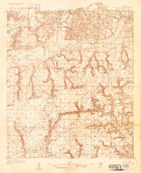
1934 · Holt
USGS Topo · 1:48,000
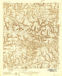
1934 · Niceville
USGS Topo · 1:48,000
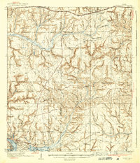
1936 · Niceville
USGS Topo · 1:62,500
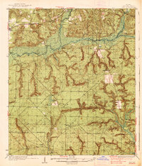
1937 · Holt
USGS Topo · 1:62,500
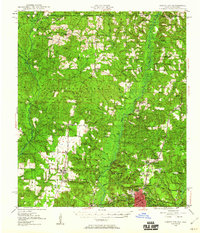
1949 · Crestview
USGS Topo · 1:62,500
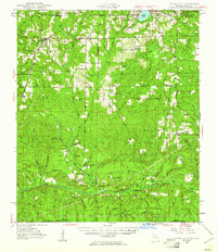
1949 · Laurel Hill
USGS Topo · 1:62,500
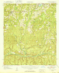
1950 · Laurel Hill
USGS Topo · 1:62,500
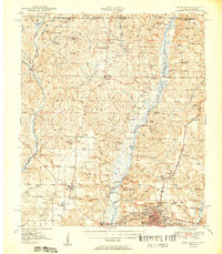
1951 · Crestview
USGS Topo · 1:62,500
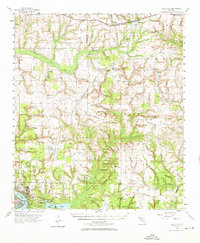
1956 · Niceville
USGS Topo · 1:62,500
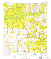
1956 · Holt
USGS Topo · 1:62,500