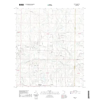
2021 Map of Dorcas
USGS Topo · Published 2021About this map
The Shoal River meanders across this landscape, dividing the northern highlands of Okaloosa County from the lower drainage basins to the south. Local heritage is preserved in several rural burial grounds, including the Old Dorcas Cem near the historic settlement of Dorcas, and the Hart Cem situated north of Yellow Bluff. The area's aviation presence is notable, with both the Five Oaks Estate Airport and the Triple B Airpark serving the region.
Find a feature on this map
146 named features on this map. Tap any name to fly to it.
Don’t see what you’re looking for? This feature index may not catch every label — zoom into the map to look around manually.
Map Details
Editions of this 2021 Dorcas Map
This is the sole edition of this map. No revisions or reprints were ever made.
Other maps of this area

1934 · Holt
USGS Topo · 1:48,000

1934 · Niceville
USGS Topo · 1:48,000

1936 · Niceville
USGS Topo · 1:62,500

1937 · Holt
USGS Topo · 1:62,500

1949 · Crestview
USGS Topo · 1:62,500

1949 · Laurel Hill
USGS Topo · 1:62,500

1950 · Laurel Hill
USGS Topo · 1:62,500

1951 · Crestview
USGS Topo · 1:62,500

1956 · Niceville
USGS Topo · 1:62,500

1956 · Holt
USGS Topo · 1:62,500