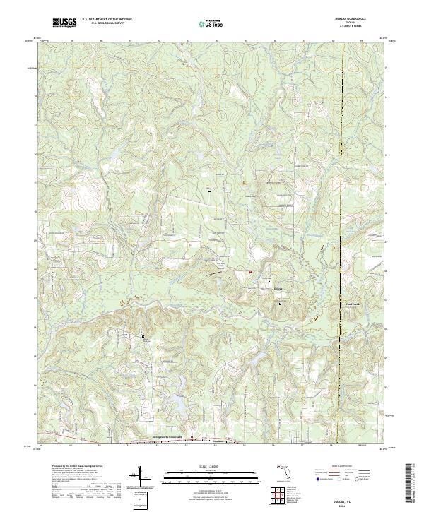
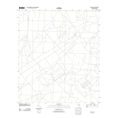
2024 Map of Dorcas
USGS Topo · Published 2024About this map
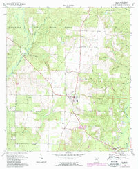
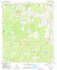
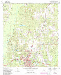
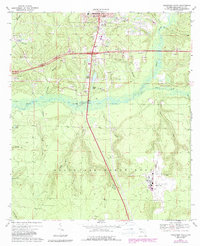
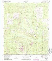
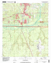
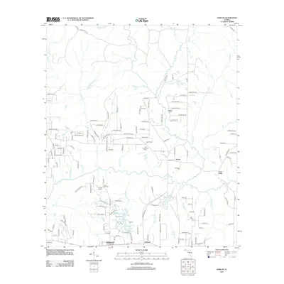
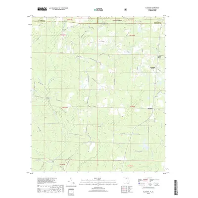
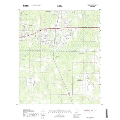
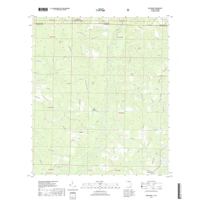
The Shoal River winds through the heart of this North Florida landscape, defining a region characterized by its intricate network of creeks and named bays. In the southern half of the quadrangle, the small settlements of Deerland, Killingsworth Crossroads, and Dorcas serve as the primary hubs of activity. For those researching local family history, the map identifies several burial sites including Dorcas Cem, Old Dorcas Cem, Mount Olive Cem, and Hart Cem.
Find a feature on this map
145 named features on this map. Tap any name to fly to it.
Don’t see what you’re looking for? This feature index may not catch every label — zoom into the map to look around manually.
Map Details
Editions of this 2024 Dorcas Map
This is the sole edition of this map. No revisions or reprints were ever made.
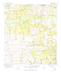
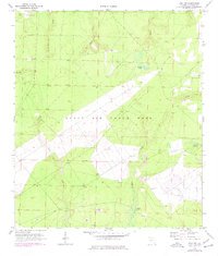
Historical Maps of Killingsworth Crossroads Through Time
58 maps found

1934 Holt
Okaloosa County, FL
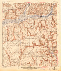
1937 Holt
Okaloosa County, FL
1956 Holt
Okaloosa County, FL
1970 Holt SW
Okaloosa County, FL
1973 Baker
Okaloosa County, FL
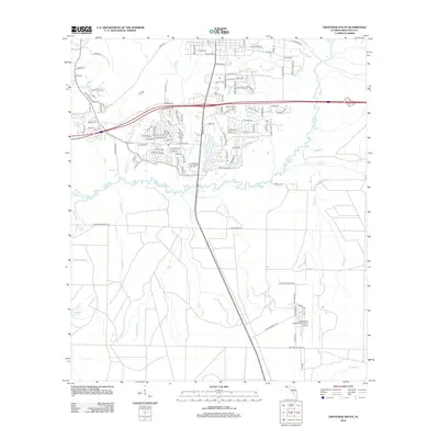
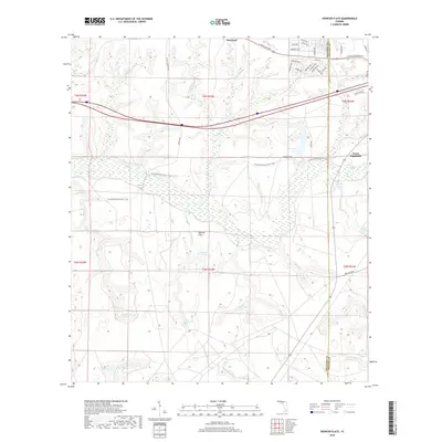
1973 Blackman
Okaloosa County, FL
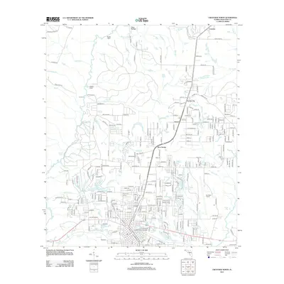
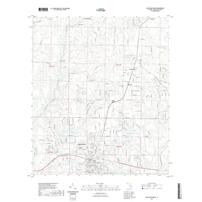
1973 Crestview North
Okaloosa County, FL
1973 Crestview South
Okaloosa County, FL
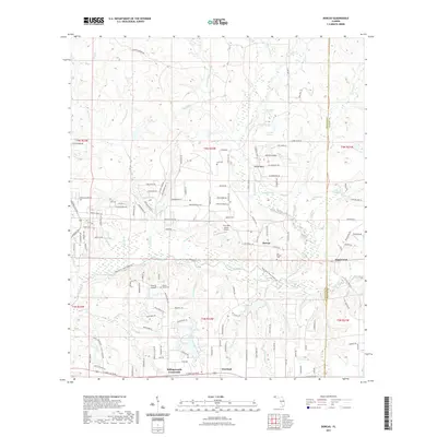
1973 Dorcas
Okaloosa County, FL
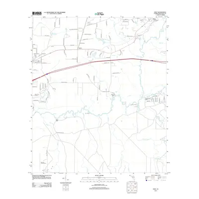
1973 Holt
Okaloosa County, FL
1973 Oak Grove
Okaloosa County, FL
1973 Spencer Flats
Okaloosa County, FL
1994 Crestview South
Okaloosa County, FL
2011 Blackman
Okaloosa County, FL
2011 Oak Grove
Okaloosa County, FL
2012 Baker
Okaloosa County, FL
2012 Crestview North
Okaloosa County, FL
2012 Crestview South
Okaloosa County, FL
2012 Dorcas
Okaloosa County, FL
2012 Holt
Okaloosa County, FL
2012 Holt SW
Okaloosa County, FL
2012 Spencer Flats
Okaloosa County, FL
2015 Baker
Okaloosa County, FL
2015 Blackman
Okaloosa County, FL
2015 Crestview North
Okaloosa County, FL
2015 Crestview South
Okaloosa County, FL
2015 Dorcas
Okaloosa County, FL
2015 Holt
Okaloosa County, FL

2015 Holt SW
Okaloosa County, FL
2015 Oak Grove
Okaloosa County, FL

2015 Spencer Flats
Okaloosa County, FL
2018 Baker
Okaloosa County, FL
2018 Blackman
Okaloosa County, FL
2018 Crestview North
Okaloosa County, FL
2018 Crestview South
Okaloosa County, FL
2018 Dorcas
Okaloosa County, FL
2018 Holt
Okaloosa County, FL
2018 Holt SW
Okaloosa County, FL
2018 Oak Grove
Okaloosa County, FL
2018 Spencer Flats
Okaloosa County, FL
2021 Baker
Okaloosa County, FL
2021 Blackman
Okaloosa County, FL
2021 Crestview North
Okaloosa County, FL

2021 Crestview South
Okaloosa County, FL
2021 Dorcas
Okaloosa County, FL
2021 Holt
Okaloosa County, FL

2021 Holt SW
Okaloosa County, FL

2021 Oak Grove
Okaloosa County, FL

2021 Spencer Flats
Okaloosa County, FL
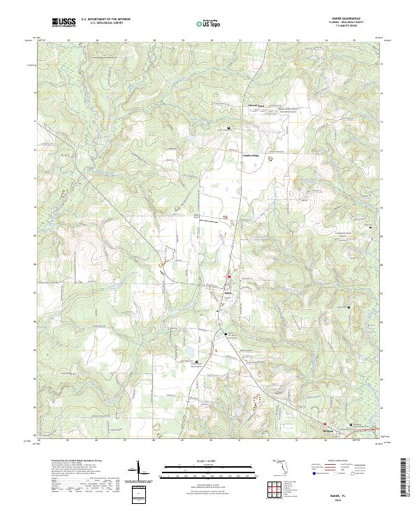
2024 Baker
Okaloosa County, FL
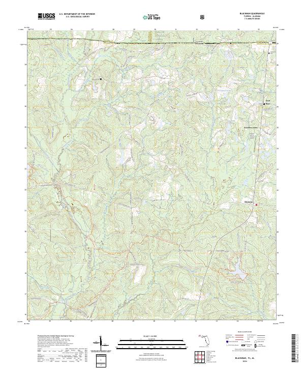
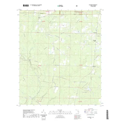
2024 Blackman
Okaloosa County, FL
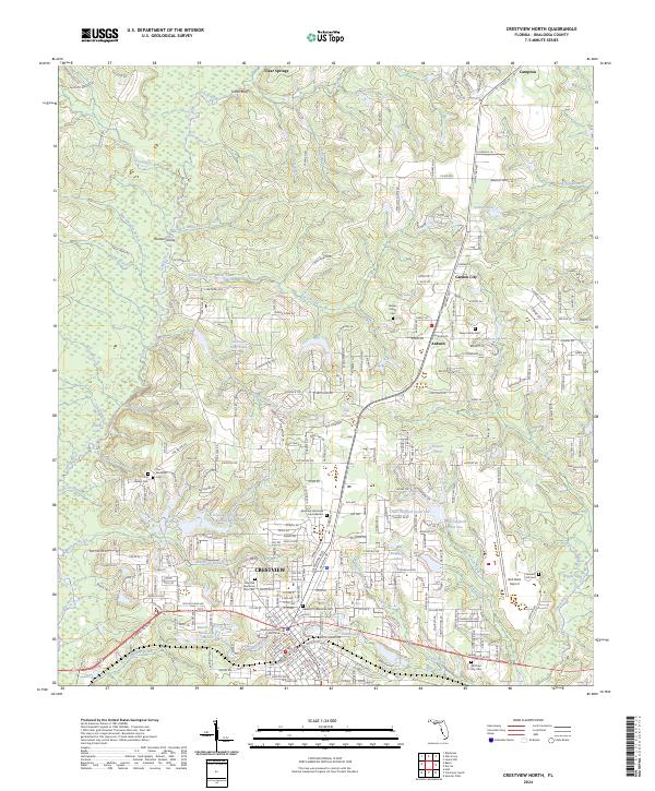
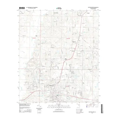
2024 Crestview North
Okaloosa County, FL
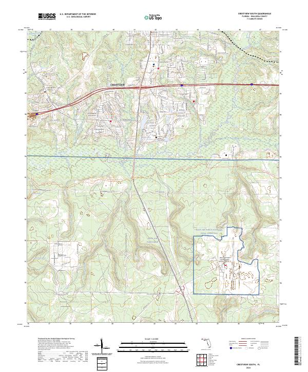
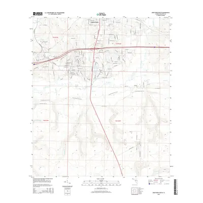
2024 Crestview South
Okaloosa County, FL
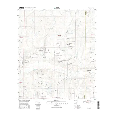
2024 Dorcas
Okaloosa County, FL
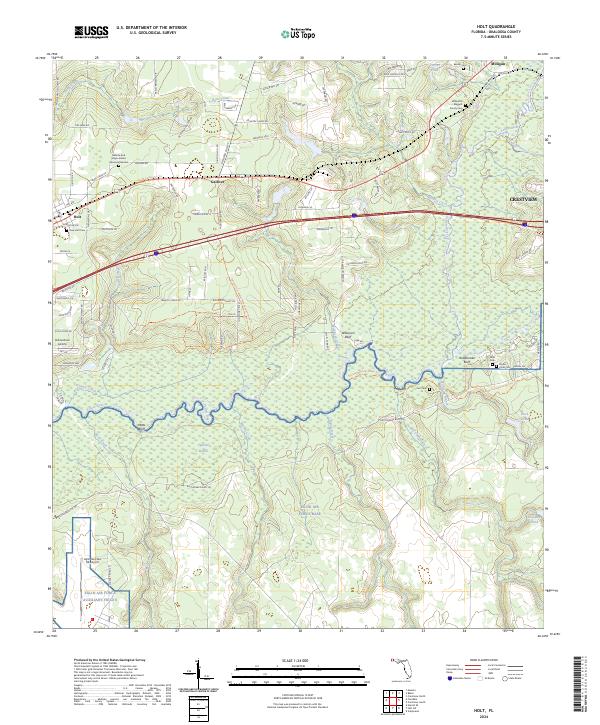
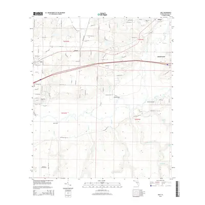
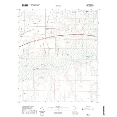
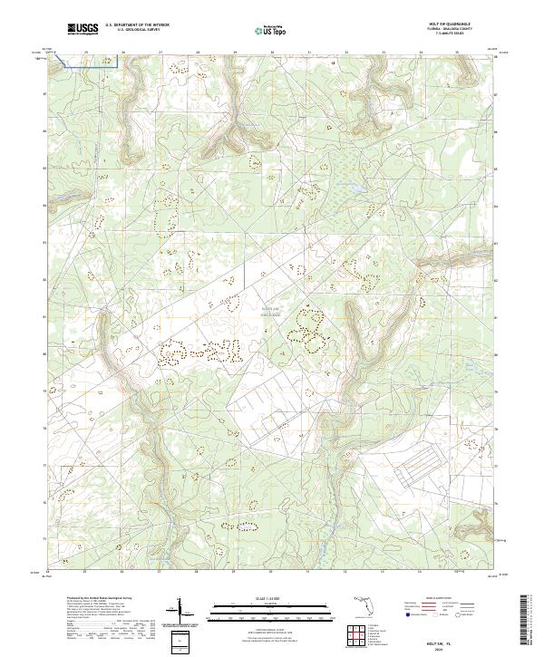
2024 Holt
Okaloosa County, FL
2024 Holt SW
Okaloosa County, FL
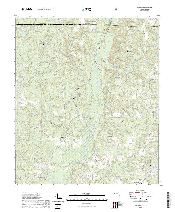
2024 Oak Grove
Okaloosa County, FL
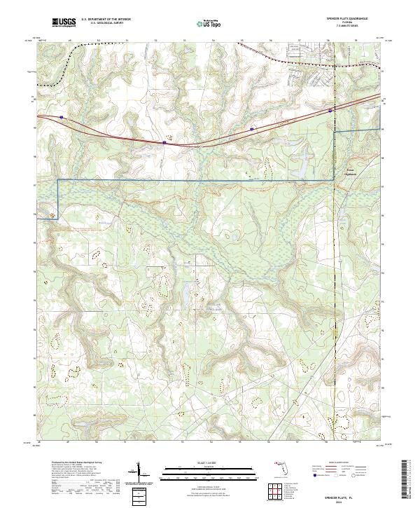
2024 Spencer Flats
Okaloosa County, FL