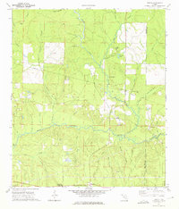
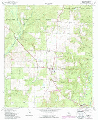
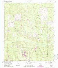
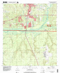
1973 Map of Dorcas
USGS Topo · Published 1975This historical map portrays the area of Dorcas in 1973, primarily covering Okaloosa County as well as portions of Walton County. Featuring a scale of 1:24000, this map provides a highly detailed snapshot of the terrain, roads, buildings, counties, and historical landmarks in the Dorcas region at the time. Published in 1975, it is one of 2 known editions of this map due to revisions or reprints.
Find a feature on this map
56 named features on this map. Tap any name to fly to it.
Don’t see what you’re looking for? This feature index may not catch every label — zoom into the map to look around manually.
Map Details
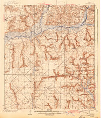
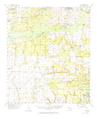
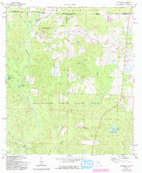
Editions of this 1973 Dorcas Map
2 editions found
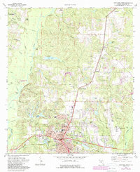
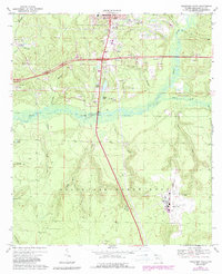
Historical Maps of Killingsworth Crossroads Through Time
13 maps found

1934 Holt
Okaloosa County, FL
1937 Holt
Okaloosa County, FL
1956 Holt
Okaloosa County, FL
1970 Holt SW
Okaloosa County, FL
1973 Baker
Okaloosa County, FL
1973 Blackman
Okaloosa County, FL
1973 Crestview North
Okaloosa County, FL
1973 Crestview South
Okaloosa County, FL
1973 Dorcas
Okaloosa County, FL
1973 Holt
Okaloosa County, FL
1973 Oak Grove
Okaloosa County, FL
1973 Spencer Flats
Okaloosa County, FL
1994 Crestview South
Okaloosa County, FL