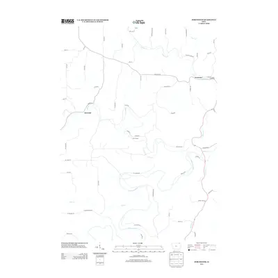
2013 Map of Dorchester
USGS Topo · Published 2013About this map
The winding course of the Upper Iowa River defines this corner of Allamakee County, Iowa, as it snakes through a landscape etched by numerous tributary valleys. The small settlement of Dorchester sits at the junction of Waterloo Cr and several local routes, serving as a focal point for the surrounding rural homesteads. Further west, the map documents the community of Quandahl and the northern hamlet of Bergen. This 2013 survey illustrates a quiet, stream-cut topography where recreation and local agriculture coexist. Significant land use markers include Camp Tahigwa and Pete's Campground, indicating the area's importance for outdoor activity. The drainage network is particularly dense here, with Bear Cr, Mineral Cr, and Paint Cr all cutting deep paths through the terrain to meet the primary river valley.
Find a feature on this map
59 named features on this map. Tap any name to fly to it.
Don’t see what you’re looking for? This feature index may not catch every label — zoom into the map to look around manually.
Map Details
Editions of this 2013 Dorchester Map
This is the sole edition of this map. No revisions or reprints were ever made.
Other maps of this area

1903 · Waukon
USGS Topo · 1:125,000

1906 · Decorah
USGS Topo · 1:125,000

1956 · Brownsville
USGS Topo · 1:62,500

1958 · La Crosse
USGS Topo · 1:250,000

1961 · La Crosse
USGS Topo · 1:250,000

1965 · La Crosse
USGS Topo · 1:250,000

1965 · Wilmington
USGS Topo · 1:24,000

1965 · Spring Grove
USGS Topo · 1:24,000

1968 · Waukon
USGS Topo · 1:24,000
1968 · Waukon NW
USGS Topo · 1:24,000