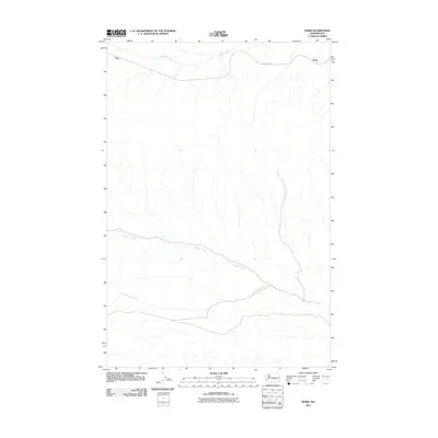
2011 Map of Doris
USGS Topo · Published 2011About this map
Doris and Rye anchor the northern reaches of this Kittitas County landscape, positioned along the historical corridor now traced by the Iron Horse Trl. The area is defined by its drainage systems, with the waters of Johnson Creek flowing across the upper section while Hanson Creek and Cottonwood Creek carve through the southern half of the quadrangle. This map documents a transitional period where former industrial or rail-dependent pathways have evolved into recreational corridors, maintaining the names of the early railroad outposts that once facilitated movement through the high country. The alignment of the modern trail and the surrounding local roads provides a clear view of how transit patterns persist over time, even as the primary use of the land shifts from commercial transport to open-space preservation.
Find a feature on this map
6 named features on this map. Tap any name to fly to it.
Don’t see what you’re looking for? This feature index may not catch every label — zoom into the map to look around manually.
Map Details
Editions of this 2011 Doris Map
This is the sole edition of this map. No revisions or reprints were ever made.
Other maps of this area
1912 · Beverly
USGS Topo · 1:62,500
1917 · Priest Rapids
USGS Topo · 1:62,500
1936 · Hog Ranch Buttes
USGS Topo · 1:48,000
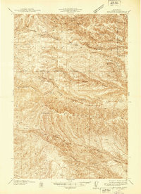
1939 · Boylston
USGS Topo · 1:48,000
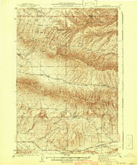
1941 · Black Rock Spring
USGS Topo · 1:62,500
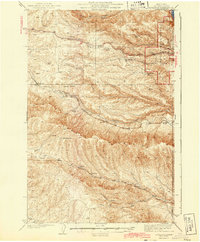
1943 · Boylston
USGS Topo · 1:62,500
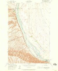
1948 · Priest Rapids
USGS Topo · 1:24,000

1950 · Yakima
USGS Topo · 1:250,000
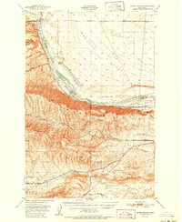
1951 · Priest Rapids
USGS Topo · 1:62,500
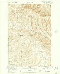
1953 · McDonald Spring
USGS Topo · 1:24,000