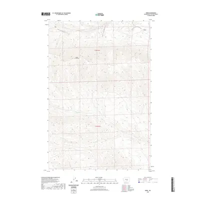
2020 Map of Doris
USGS Topo · Published 2020About this map
Saddle Mountains dominate the central topography of this Kittitas County landscape, where deep drainages like Hanson Cr and Cottonwood Cr carve through the high desert terrain. The area's transportation history is preserved through the Palouse To Cascades State Park Trail, which follows the historic railroad grade across the northern sections. This corridor links the small settlements of Rye and Doris, reflecting the legacy of the rail-to-trail conversion that maintains these remote outposts as modern landmarks. The map illustrates a stark, arid landscape where seasonal watercourses such as Johnson Cr define the movement of the land between the high ridges and the historical transit routes that once moved freight through central Washington.
Find a feature on this map
10 named features on this map. Tap any name to fly to it.
Don’t see what you’re looking for? This feature index may not catch every label — zoom into the map to look around manually.
Map Details
Editions of this 2020 Doris Map
This is the sole edition of this map. No revisions or reprints were ever made.
Other maps of this area
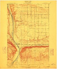
1912 · Beverly
USGS Topo · 1:62,500
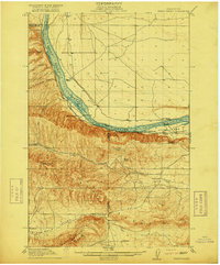
1917 · Priest Rapids
USGS Topo · 1:62,500
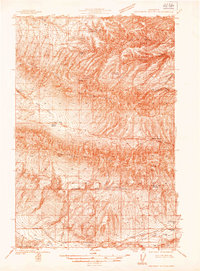
1936 · Hog Ranch Buttes
USGS Topo · 1:48,000
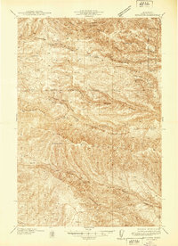
1939 · Boylston
USGS Topo · 1:48,000
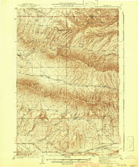
1941 · Black Rock Spring
USGS Topo · 1:62,500
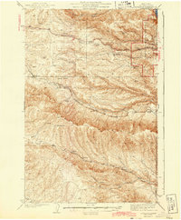
1943 · Boylston
USGS Topo · 1:62,500
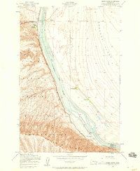
1948 · Priest Rapids
USGS Topo · 1:24,000

1950 · Yakima
USGS Topo · 1:250,000
1951 · Priest Rapids
USGS Topo · 1:62,500
1953 · McDonald Spring
USGS Topo · 1:24,000